Hardhome Map Wildling Settlement, White Walker Attack, Jon Snow, Night King Proof & Massacre Route
The far-northern settlement where the dead stop being rumor and become visible strategy
The Hardhome Map shows the wildling settlement beyond the Wall where Jon Snow’s rescue mission becomes the clearest proof of the Night King’s threat. It is a coastal trap, refugee zone and horror map in one place.
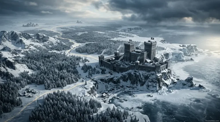
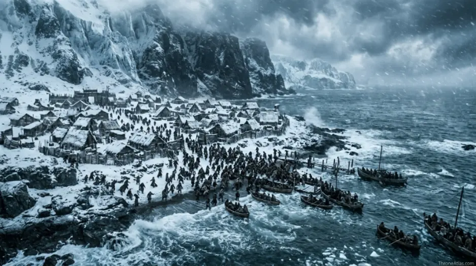
Hardhome is a wildling settlement beyond the Wall on the northern coast. Its key map points are the shore landing, wildling camp, meeting area, evacuation boats, defensive choke points, White Walker attack route, Night King sightline and massacre aftermath. The location matters because it proves that the army of the dead is not a legend, a rumor or a distant problem. It is organized, mobile and coming south.
What this Hardhome Map explains
The cards below give the fast orientation before the deeper route, table and FAQ sections.
Main points on the Hardhome Map
This simplified graphic is designed for reading flow, not exact geographic scale. Use it to understand order, pressure and consequence.
Boats make Hardhome reachable but also define the escape bottleneck.
The camp gathers people who are divided, frightened and running out of time.
Jon must convince wildlings that old hatred is smaller than the dead.
The boats are salvation, but they cannot carry everyone at once.
Temporary defenses show how unprepared the living are for the dead.
The attack turns settlement geography into a collapsing battlefield.
The Night King’s elevated presence reveals coordination and intent.
Survivors leave with proof, guilt and a changed understanding of the war.
Complete Hardhome Map Guide
A thin map page only lists names. A strong ThroneAtlas page explains how places create pressure, change decisions and connect to the wider atlas. This guide is built to help readers follow the route, understand the stakes at each stop, and continue into connected maps without losing context.
Hardhome as coastal trap
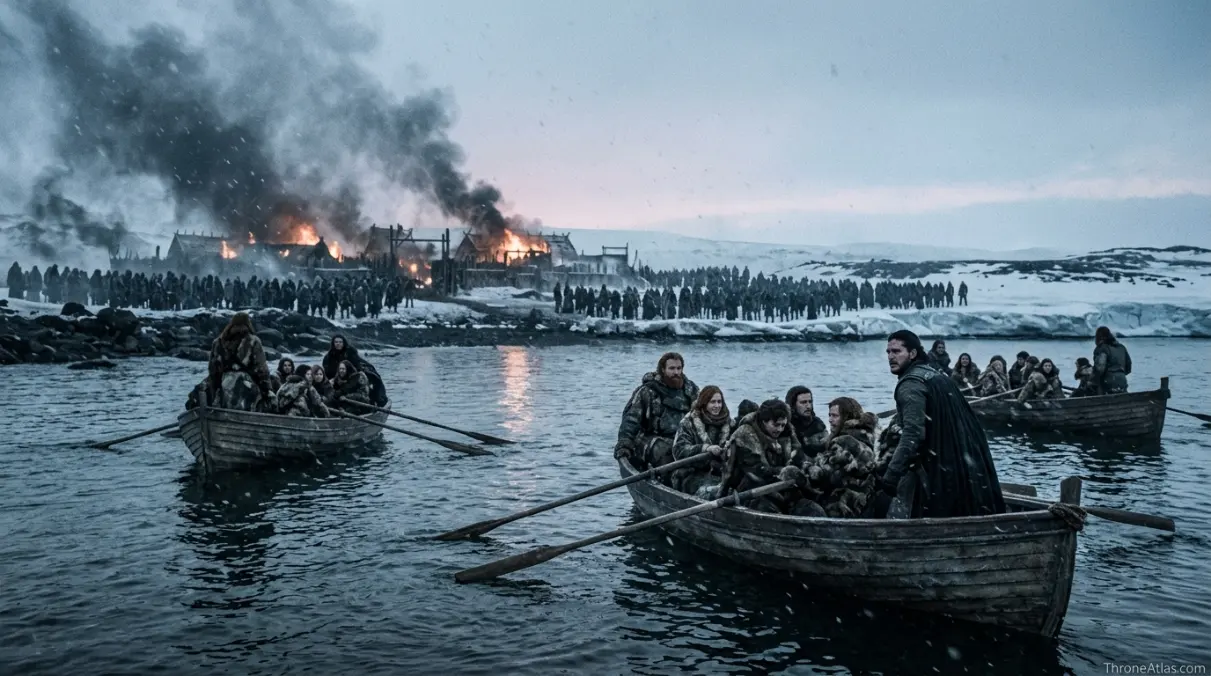
Hardhome’s coastline is the first key to the map. Boats make rescue possible, but they also create a bottleneck. Everyone who wants to live must move toward the same shore while the threat presses from landward approaches.
That geography turns evacuation into triage. Jon’s mission cannot be measured only by bravery. It is a question of timing, persuasion, boat capacity and panic. The map gives the scene its terrible arithmetic.
A strong Hardhome guide should therefore read the shore as both hope and limitation. The water saves some people because it also cannot save everyone.
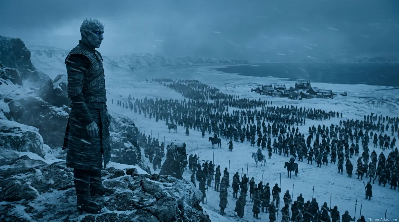
The wildling council and the politics of survival
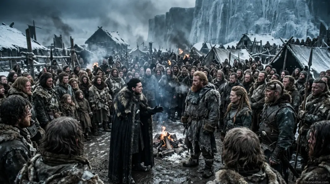
Before the attack, Hardhome is a political map. Jon has to persuade groups that have every reason to distrust him. The meeting area becomes a diplomatic space under impossible time pressure. Old wars, raids and vows all stand in the way of evacuation.
This makes the scene more than a monster attack. The living nearly lose because they cannot agree quickly enough that their old map is gone. North versus South, Watch versus wildling, clan versus clan — all of those lines collapse when the dead arrive.
Hardhome shows that survival requires a new map before the characters are ready to accept one.
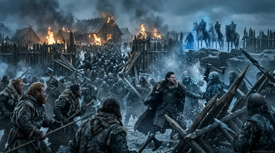
The Night King’s command geography
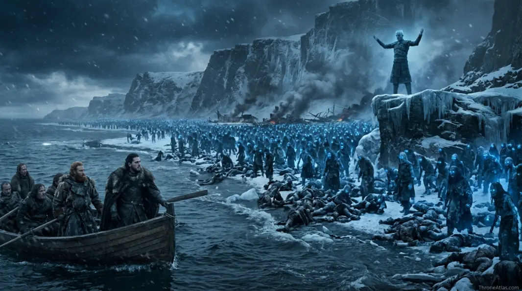
The Night King’s presence at Hardhome is one of the most important visual proofs in the series because he is not just a monster in the crowd. He stands with command distance. He watches, waits and then demonstrates power.
That sightline matters. The raised position lets the audience understand that the army of the dead has hierarchy and intention. The massacre is not random weather. It is directed force.
For an atlas page, this is the turning point. Hardhome changes the White Walkers from far-northern legend into a strategic enemy with movement, command and psychological warfare.
Why Hardhome changes the Wall story
After Hardhome, Castle Black and the Wall can no longer be understood as old institutions guarding against raiders. They are now the last organized defense against an enemy that grows by killing.
The survivors carry a new map south. It is not drawn on paper; it is carried in memory. They have seen the dead move, attack and rise. That evidence shapes later alliances, fears and mistakes.
Hardhome deserves a dedicated page because it is the moment the northern threat becomes legible to the living.
Detailed map reading for Hardhome Map
The fastest way to understand Hardhome Map is to treat every landmark as a pressure point. In this atlas style, a place is included only when it changes movement, loyalty, fear, command, identity, trade, religion, survival or memory. That is why the map below is not a flat list of names. It is a sequence of locations that explain how power moves through terrain.
Read the route from the first point to the final consequence. The early locations establish the map’s basic logic, the middle points show where control becomes unstable, and the final points explain how the location connects to the larger Westeros or Essos cluster. This gives the page more value than a short recap because it answers what happened, where it happened, why it happened there and what the next connected page should be.
1. Coastal Landing — Arrival route
Boats make Hardhome reachable but also define the escape bottleneck. In map terms, Coastal Landing belongs to Beyond the Wall coast, but its real function is relational: it tells the reader how the starting frame leads toward Wildling Camp. That is the difference between a label and a useful atlas point.
This point also gives the page a stronger entity layer. It ties the route to houses, roads, coasts, gates, fields, walls, waters or halls that readers already associate with the world. When those connections are clear, the map feels handcrafted rather than generic.
2. Wildling Camp — Refugee pressure
The camp gathers people who are divided, frightened and running out of time. In map terms, Wildling Camp belongs to Hardhome, but its real function is relational: it tells the reader how Coastal Landing leads toward Council Area. That is the difference between a label and a useful atlas point.
This point also gives the page a stronger entity layer. It ties the route to houses, roads, coasts, gates, fields, walls, waters or halls that readers already associate with the world. When those connections are clear, the map feels handcrafted rather than generic.
3. Council Area — Alliance debate
Jon must convince wildlings that old hatred is smaller than the dead. In map terms, Council Area belongs to Hardhome, but its real function is relational: it tells the reader how Wildling Camp leads toward Shoreline Boats. That is the difference between a label and a useful atlas point.
This point also gives the page a stronger entity layer. It ties the route to houses, roads, coasts, gates, fields, walls, waters or halls that readers already associate with the world. When those connections are clear, the map feels handcrafted rather than generic.
4. Shoreline Boats — Evacuation route
The boats are salvation, but they cannot carry everyone at once. In map terms, Shoreline Boats belongs to Hardhome coast, but its real function is relational: it tells the reader how Council Area leads toward Wooden Barrier. That is the difference between a label and a useful atlas point.
This point also gives the page a stronger entity layer. It ties the route to houses, roads, coasts, gates, fields, walls, waters or halls that readers already associate with the world. When those connections are clear, the map feels handcrafted rather than generic.
5. Wooden Barrier — Last defense
Temporary defenses show how unprepared the living are for the dead. In map terms, Wooden Barrier belongs to Hardhome, but its real function is relational: it tells the reader how Shoreline Boats leads toward Walker Attack Line. That is the difference between a label and a useful atlas point.
This point also gives the page a stronger entity layer. It ties the route to houses, roads, coasts, gates, fields, walls, waters or halls that readers already associate with the world. When those connections are clear, the map feels handcrafted rather than generic.
6. Walker Attack Line — Northern assault
The attack turns settlement geography into a collapsing battlefield. In map terms, Walker Attack Line belongs to Hardhome edge, but its real function is relational: it tells the reader how Wooden Barrier leads toward Night King Ridge. That is the difference between a label and a useful atlas point.
This point also gives the page a stronger entity layer. It ties the route to houses, roads, coasts, gates, fields, walls, waters or halls that readers already associate with the world. When those connections are clear, the map feels handcrafted rather than generic.
7. Night King Ridge — Command sightline
The Night King’s elevated presence reveals coordination and intent. In map terms, Night King Ridge belongs to Hardhome heights, but its real function is relational: it tells the reader how Walker Attack Line leads toward Silent Water Exit. That is the difference between a label and a useful atlas point.
This point also gives the page a stronger entity layer. It ties the route to houses, roads, coasts, gates, fields, walls, waters or halls that readers already associate with the world. When those connections are clear, the map feels handcrafted rather than generic.
8. Silent Water Exit — Aftermath route
Survivors leave with proof, guilt and a changed understanding of the war. In map terms, Silent Water Exit belongs to Cold sea, but its real function is relational: it tells the reader how Night King Ridge leads toward the wider atlas cluster. That is the difference between a label and a useful atlas point.
This point also gives the page a stronger entity layer. It ties the route to houses, roads, coasts, gates, fields, walls, waters or halls that readers already associate with the world. When those connections are clear, the map feels handcrafted rather than generic.
Why this Hardhome Map deserves a dedicated atlas page
Some locations in the Thrones world work like background scenery, but this one works like a system. It organizes movement, determines who can reach whom, and often decides whether a character is protected, exposed, isolated or politically useful. A dedicated map page lets the reader see those hidden mechanics instead of only remembering a famous scene or family name.
The strongest way to read this page is through three layers. First is the physical layer: water, road, gate, island, field, wall, marsh, tower or castle. Second is the political layer: the house, commander, oath, religion, fleet, army or bloodline that claims the place. Third is the story layer: the decision, betrayal, test, alliance or survival moment that happens because of that geography.
That layered reading is why ThroneAtlas pages keep a consistent visual structure while giving each map its own voice. The hero gives orientation, the compass card restores the atlas identity, the quick answer gives the searcher an immediate answer, and the deeper guide explains the location’s real narrative function. The structure is familiar; the analysis stays unique.
For readers building a larger path through the site, this page can connect naturally to regional maps, noble house pages, battle maps, route guides and lore explainers. The page is meant to act as a useful bridge, not a dead-end article. After understanding this map, the next best step is to open the nearest region or house page and compare how that broader geography changes the meaning of the specific location.
The page also avoids repeating the same phrase until it feels mechanical. Instead, it uses related entities and natural language: controlling houses, nearby landmarks, route direction, strategic weakness, cultural memory, political consequence and character movement. That gives the content topical completeness without flattening it into keyword stuffing.
What readers usually want to know about Hardhome Map
Most readers arrive with one of three needs. Some want a quick location answer: where is it, what region does it belong to, and which nearby places matter? Some want story context: which characters, houses or armies are tied to it? Others want a clean route: how does this place connect to the next castle, coast, city, battlefield or sacred site?
This page is built to answer all three without forcing the reader through a long introduction. The quick answer gives the first answer. The fact cards organize the core signals. The route schematic shows movement. The deep sections explain why the map matters. The FAQ catches the short follow-up questions readers often search separately.
For a fan atlas, that balance matters. The page should feel useful to someone who only needs a fast answer, but it should also reward the reader who wants to understand the deeper geography of power. That is the 10/10 version of a ThroneAtlas map page: fast at the top, rich in the middle, and connected at the end.
Location order and story function
The table below condenses the map into a scanner-friendly format for readers who want quick orientation before moving into related maps.
| Location | Map role | Region / route | Story function |
|---|---|---|---|
| Coastal Landing | Arrival route | Beyond the Wall coast | Boats make Hardhome reachable but also define the escape bottleneck. |
| Wildling Camp | Refugee pressure | Hardhome | The camp gathers people who are divided, frightened and running out of time. |
| Council Area | Alliance debate | Hardhome | Jon must convince wildlings that old hatred is smaller than the dead. |
| Shoreline Boats | Evacuation route | Hardhome coast | The boats are salvation, but they cannot carry everyone at once. |
| Wooden Barrier | Last defense | Hardhome | Temporary defenses show how unprepared the living are for the dead. |
| Walker Attack Line | Northern assault | Hardhome edge | The attack turns settlement geography into a collapsing battlefield. |
| Night King Ridge | Command sightline | Hardhome heights | The Night King’s elevated presence reveals coordination and intent. |
| Silent Water Exit | Aftermath route | Cold sea | Survivors leave with proof, guilt and a changed understanding of the war. |
Hardhome Map Questions
Hardhome is a wildling settlement beyond the Wall on the northern coast.
Jon goes to evacuate wildlings and bring them south before the dead destroy them.
The army of the dead attacks, massacres many wildlings and proves the Night King’s threat.
It shows the White Walkers as organized, terrifying and close enough to threaten the realm.
No. Hardhome is beyond the Wall.
Related maps, houses, battles and lore routes
Essos & Wall cluster
ThroneAtlas is an independent fan-made atlas. Game of Thrones, House of the Dragon and related names belong to their respective rights holders. This page is for educational, lore-navigation and fan-reference purposes.