Slaver’s Bay Map Astapor, Yunkai, Meereen, Daenerys, Unsullied & Liberation Geography
The three-city arc where Daenerys turns conquest, slavery and rule into a map of consequences
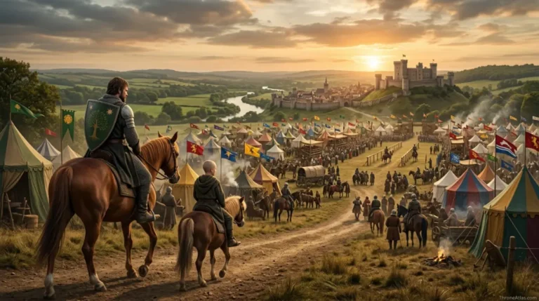
The Slaver’s Bay Map follows the chain of Astapor, Yunkai and Meereen on the eastern coast of Essos. It is the geography of Daenerys Targaryen’s most ambitious transformation: from exiled claimant to liberator, conqueror, ruler and finally queen learning that a city is harder to hold than to take.
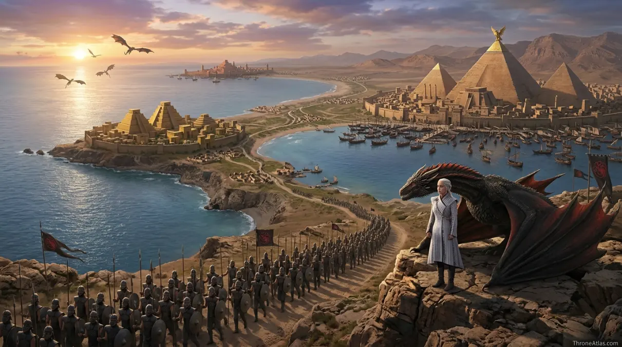
The Slaver’s Bay map centers on three major cities: Astapor, Yunkai and Meereen. Daenerys wins the Unsullied at Astapor, confronts the slave economy at Yunkai, then rules from Meereen while fighting the old masters, the Sons of the Harpy and the political consequences of liberation. The region is later renamed Dragon’s Bay, making it one of the clearest examples of geography being rewritten by conquest and ideology.
What this Slaver’s Bay Map explains
The cards below give the fast orientation before the deeper route, table and FAQ sections.
Main points on the Slaver’s Bay Map
This simplified graphic is designed for reading flow, not exact geographic scale. Use it to understand order, pressure and consequence.
Astapor gives Daenerys the army that changes her from claimant to conqueror.
The slave market becomes the stage where ownership, language and power are reversed.
Yunkai shows that liberation is not a single city problem but a regional economy.
The city walls turn Daenerys’s mission from march to occupation.
The pyramid becomes the visual center of Daenerys’s rule and its isolation.
The pits show the conflict between abolition, local tradition and political compromise.
The Sons of the Harpy use the city itself as a weapon against occupation.
The new name signals change while leaving the hard work of stability unresolved.
Complete Slaver’s Bay Map Guide
A thin map page only lists names. A strong ThroneAtlas page explains how places create pressure, change decisions and connect to the wider atlas. This guide is built to help readers follow the route, understand the stakes at each stop, and continue into connected maps without losing context.
Astapor and the army that changes the map
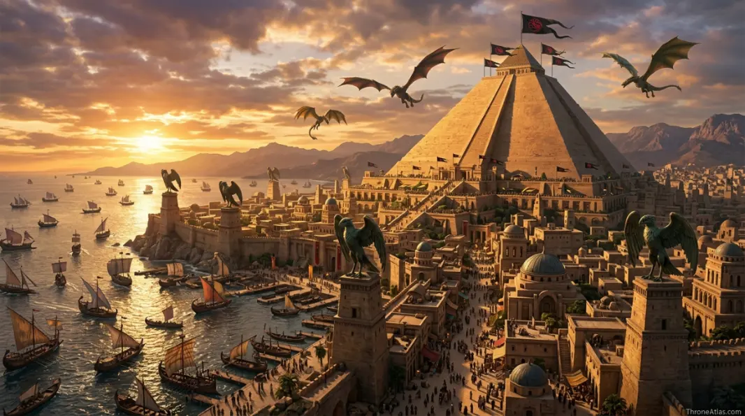
Astapor is the opening hinge of the Slaver’s Bay map because Daenerys does not merely pass through it. She takes the city’s most valuable military export and turns it against the system that created it. The Unsullied are not just soldiers; they are the map tool that lets her challenge the region’s entire hierarchy.
The geography matters because Astapor is a market city. Power is displayed in public. Contracts, translators, masters and soldiers all meet in an open place where language can be misunderstood and ownership can be reversed. That is why the scene feels like a political spell: the city believes it is selling power, but it is actually surrendering power.
After Astapor, Daenerys no longer looks like a wandering exile. She can move along the coast with a disciplined force, and every city ahead must treat her as a ruler who can break its walls or its economy.
 /figure>
Yunkai and the problem of regional slavery
Yunkai proves that Slaver’s Bay cannot be solved one gate at a time. If Astapor gives Daenerys an army, Yunkai gives her a regional problem. The old slave economy links ports, elites and mercenary interests across the bay. Removing one master class does not erase the habits of wealth that depend on bondage.
This is where the map becomes more than a route. Daenerys is not just traveling from city to city; she is moving along a chain of linked incentives. Each victory sends fear outward, but it also sends resistance outward. The masters learn from one another, hire from one another and test her willingness to stay.
For readers, Yunkai is the warning that conquest creates a shadow route. The conquered city remains behind the hero, but its unresolved power follows her forward.
Meereen as capital, cage and classroom
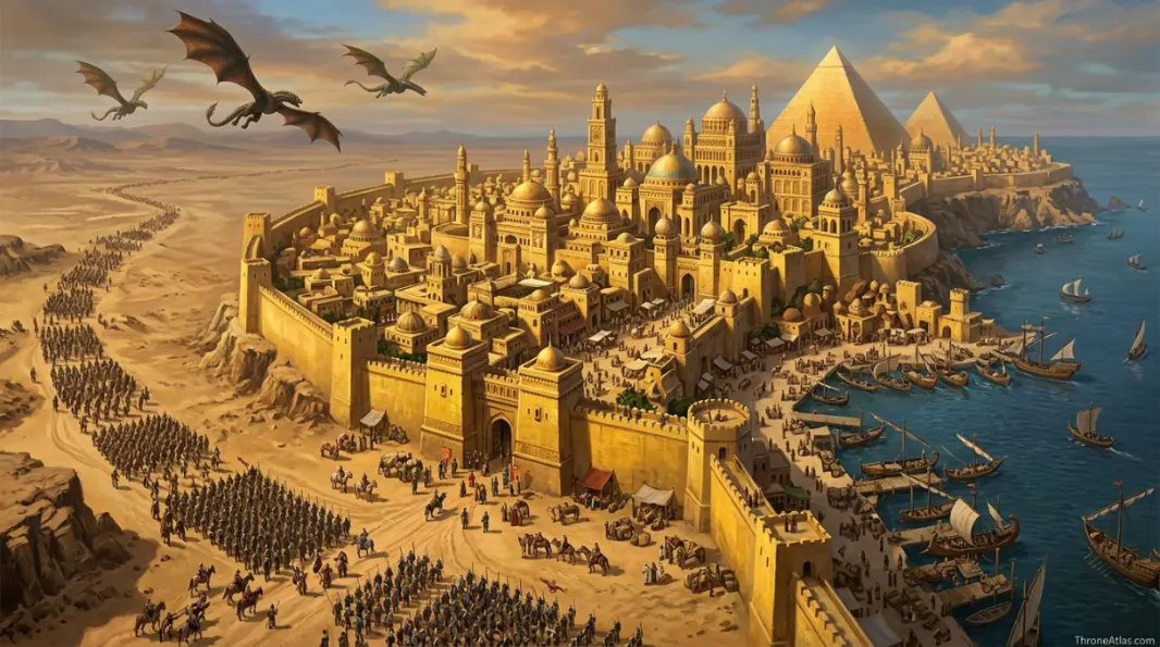
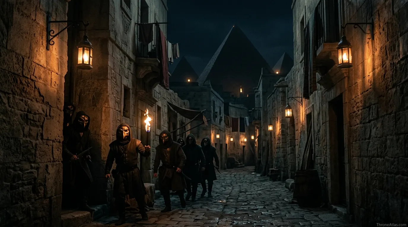
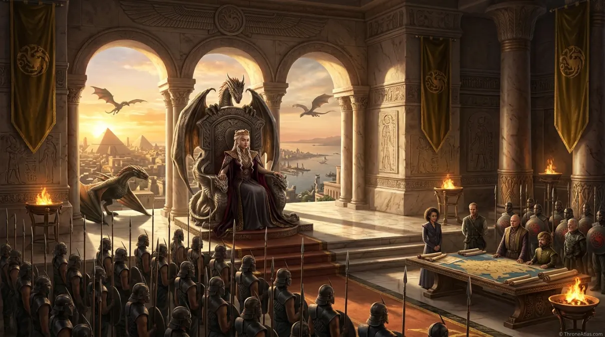
Meereen is the most important point on the Slaver’s Bay map because it forces Daenerys to stop moving. Once she chooses to rule, the map compresses around gates, pyramids, streets, fighting pits and secret passageways. Every location becomes a test of whether liberation can survive administration.
The Great Pyramid is powerful because it is elevated and isolated. It lets Daenerys sit above the city, but it also shows the distance between ruler and ruled. The streets below belong to memory, resentment, old families and hidden knives. That is why Meereen works as both capital and cage.
A map-first reading makes Meereen one of the best political geography lessons in the series. The question is not whether Daenerys can defeat masters. The question is whether she can make a city believe in the world after masters.

From Slaver’s Bay to Dragon’s Bay
The renaming of Slaver’s Bay as Dragon’s Bay is one of the clearest symbolic map changes in the story. A name attached to slavery is replaced by a name attached to Daenerys and her dragons. That is powerful, but the atlas should not pretend that a new label solves every old system.
Names matter because maps teach memory. If people keep saying Slaver’s Bay, the old system remains present. If they say Dragon’s Bay, the story claims a new future. The tension between those names is the point: geography can be conquered quickly, but memory and economy change slowly.
This is why the page connects to the wider Essos map, Daenerys route, dragon lore and Meereen. The bay is both a destination and a warning.
Detailed map reading for Slaver’s Bay Map
The fastest way to understand Slaver’s Bay Map is to treat every landmark as a pressure point. In this atlas style, a place is included only when it changes movement, loyalty, fear, command, identity, trade, religion, survival or memory. That is why the map below is not a flat list of names. It is a sequence of locations that explain how power moves through terrain.
Read the route from the first point to the final consequence. The early locations establish the map’s basic logic, the middle points show where control becomes unstable, and the final points explain how the location connects to the larger Westeros or Essos cluster. This gives the page more value than a short recap because it answers what happened, where it happened, why it happened there and what the next connected page should be.
1. Astapor — Unsullied turning point
Astapor gives Daenerys the army that changes her from claimant to conqueror. In map terms, Astapor belongs to Slaver’s Bay, but its real function is relational: it tells the reader how the starting frame leads toward Plaza of Pride. That is the difference between a label and a useful atlas point.
This point also gives the page a stronger entity layer. It ties the route to houses, roads, coasts, gates, fields, walls, waters or halls that readers already associate with the world. When those connections are clear, the map feels handcrafted rather than generic.
2. Plaza of Pride — Public reversal
The slave market becomes the stage where ownership, language and power are reversed. In map terms, Plaza of Pride belongs to Astapor, but its real function is relational: it tells the reader how Astapor leads toward Yunkai. That is the difference between a label and a useful atlas point.
This point also gives the page a stronger entity layer. It ties the route to houses, roads, coasts, gates, fields, walls, waters or halls that readers already associate with the world. When those connections are clear, the map feels handcrafted rather than generic.
3. Yunkai — Negotiated pressure
Yunkai shows that liberation is not a single city problem but a regional economy. In map terms, Yunkai belongs to Slaver coast, but its real function is relational: it tells the reader how Plaza of Pride leads toward Meereen Gates. That is the difference between a label and a useful atlas point.
This point also gives the page a stronger entity layer. It ties the route to houses, roads, coasts, gates, fields, walls, waters or halls that readers already associate with the world. When those connections are clear, the map feels handcrafted rather than generic.
4. Meereen Gates — Siege threshold
The city walls turn Daenerys’s mission from march to occupation. In map terms, Meereen Gates belongs to Meereen, but its real function is relational: it tells the reader how Yunkai leads toward Great Pyramid. That is the difference between a label and a useful atlas point.
This point also gives the page a stronger entity layer. It ties the route to houses, roads, coasts, gates, fields, walls, waters or halls that readers already associate with the world. When those connections are clear, the map feels handcrafted rather than generic.
5. Great Pyramid — Rule from above
The pyramid becomes the visual center of Daenerys’s rule and its isolation. In map terms, Great Pyramid belongs to Meereen, but its real function is relational: it tells the reader how Meereen Gates leads toward Fighting Pits. That is the difference between a label and a useful atlas point.
This point also gives the page a stronger entity layer. It ties the route to houses, roads, coasts, gates, fields, walls, waters or halls that readers already associate with the world. When those connections are clear, the map feels handcrafted rather than generic.
6. Fighting Pits — Culture conflict
The pits show the conflict between abolition, local tradition and political compromise. In map terms, Fighting Pits belongs to Meereen, but its real function is relational: it tells the reader how Great Pyramid leads toward Harpy Streets. That is the difference between a label and a useful atlas point.
This point also gives the page a stronger entity layer. It ties the route to houses, roads, coasts, gates, fields, walls, waters or halls that readers already associate with the world. When those connections are clear, the map feels handcrafted rather than generic.
7. Harpy Streets — Urban resistance
The Sons of the Harpy use the city itself as a weapon against occupation. In map terms, Harpy Streets belongs to Meereen, but its real function is relational: it tells the reader how Fighting Pits leads toward Dragon’s Bay. That is the difference between a label and a useful atlas point.
This point also gives the page a stronger entity layer. It ties the route to houses, roads, coasts, gates, fields, walls, waters or halls that readers already associate with the world. When those connections are clear, the map feels handcrafted rather than generic.
8. Dragon’s Bay — Renamed region
The new name signals change while leaving the hard work of stability unresolved. In map terms, Dragon’s Bay belongs to Eastern Essos, but its real function is relational: it tells the reader how Harpy Streets leads toward the wider atlas cluster. That is the difference between a label and a useful atlas point.
This point also gives the page a stronger entity layer. It ties the route to houses, roads, coasts, gates, fields, walls, waters or halls that readers already associate with the world. When those connections are clear, the map feels handcrafted rather than generic.
Why this Slaver’s Bay Map deserves a dedicated atlas page
Some locations in the Thrones world work like background scenery, but this one works like a system. It organizes movement, determines who can reach whom, and often decides whether a character is protected, exposed, isolated or politically useful. A dedicated map page lets the reader see those hidden mechanics instead of only remembering a famous scene or family name.
The strongest way to read this page is through three layers. First is the physical layer: water, road, gate, island, field, wall, marsh, tower or castle. Second is the political layer: the house, commander, oath, religion, fleet, army or bloodline that claims the place. Third is the story layer: the decision, betrayal, test, alliance or survival moment that happens because of that geography.
That layered reading is why ThroneAtlas pages keep a consistent visual structure while giving each map its own voice. The hero gives orientation, the compass card restores the atlas identity, the quick answer gives the searcher an immediate answer, and the deeper guide explains the location’s real narrative function. The structure is familiar; the analysis stays unique.
For readers building a larger path through the site, this page can connect naturally to regional maps, noble house pages, battle maps, route guides and lore explainers. The page is meant to act as a useful bridge, not a dead-end article. After understanding this map, the next best step is to open the nearest region or house page and compare how that broader geography changes the meaning of the specific location.
The page also avoids repeating the same phrase until it feels mechanical. Instead, it uses related entities and natural language: controlling houses, nearby landmarks, route direction, strategic weakness, cultural memory, political consequence and character movement. That gives the content topical completeness without flattening it into keyword stuffing.
What readers usually want to know about Slaver’s Bay Map
Most readers arrive with one of three needs. Some want a quick location answer: where is it, what region does it belong to, and which nearby places matter? Some want story context: which characters, houses or armies are tied to it? Others want a clean route: how does this place connect to the next castle, coast, city, battlefield or sacred site?
This page is built to answer all three without forcing the reader through a long introduction. The quick answer gives the first answer. The fact cards organize the core signals. The route schematic shows movement. The deep sections explain why the map matters. The FAQ catches the short follow-up questions readers often search separately.
For a fan atlas, that balance matters. The page should feel useful to someone who only needs a fast answer, but it should also reward the reader who wants to understand the deeper geography of power. That is the 10/10 version of a ThroneAtlas map page: fast at the top, rich in the middle, and connected at the end.
Location order and story function
The table below condenses the map into a scanner-friendly format for readers who want quick orientation before moving into related maps.
| Location | Map role | Region / route | Story function |
|---|---|---|---|
| Astapor | Unsullied turning point | Slaver’s Bay | Astapor gives Daenerys the army that changes her from claimant to conqueror. |
| Plaza of Pride | Public reversal | Astapor | The slave market becomes the stage where ownership, language and power are reversed. |
| Yunkai | Negotiated pressure | Slaver coast | Yunkai shows that liberation is not a single city problem but a regional economy. |
| Meereen Gates | Siege threshold | Meereen | The city walls turn Daenerys’s mission from march to occupation. |
| Great Pyramid | Rule from above | Meereen | The pyramid becomes the visual center of Daenerys’s rule and its isolation. |
| Fighting Pits | Culture conflict | Meereen | The pits show the conflict between abolition, local tradition and political compromise. |
| Harpy Streets | Urban resistance | Meereen | The Sons of the Harpy use the city itself as a weapon against occupation. |
| Dragon’s Bay | Renamed region | Eastern Essos | The new name signals change while leaving the hard work of stability unresolved. |
Slaver’s Bay Map Questions
Slaver’s Bay is on the eastern coast of Essos, centered on Astapor, Yunkai and Meereen.
It is where Daenerys gains the Unsullied, liberates enslaved people and learns how difficult ruling can be.
Dragon’s Bay is the renamed version of Slaver’s Bay after Daenerys breaks the old slave order.
Daenerys rules from Meereen, especially the Great Pyramid.
Astapor is a conquest and army moment; Meereen is a long ruling test.
Related maps, houses, battles and lore routes
Essos & Wall cluster
ThroneAtlas is an independent fan-made atlas. Game of Thrones, House of the Dragon and related names belong to their respective rights holders. This page is for educational, lore-navigation and fan-reference purposes.