Dothraki Sea Map Vaes Dothrak, Khalasar Routes, Drogo, Daenerys & Open-Land Power
The open inland sea where horses, omens, khalasars and distance shape power
The Dothraki Sea Map is the great grassland of central Essos, an inland ocean where roads matter less than movement, horses, water, fear and khalasar size. It explains why Vaes Dothrak feels sacred, why Daenerys changes through distance, and why open terrain produces a different kind of power from castles and cities.
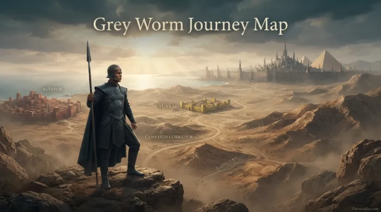
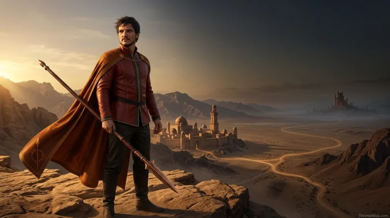
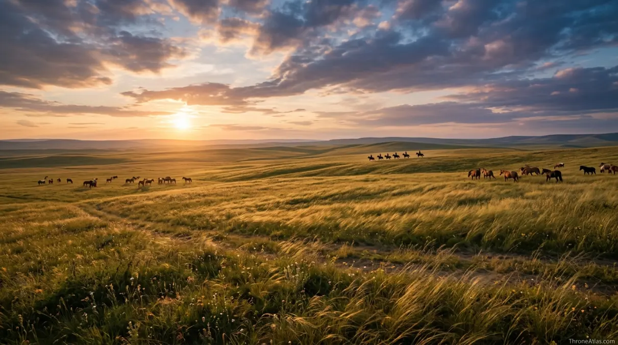
The Dothraki Sea map covers the vast grasslands of central Essos, including khalasar routes, sacred Vaes Dothrak, the Mother of Mountains and the open plains where Drogo, Daenerys and later the united Dothraki forces are defined. It is called a “sea” because it functions like an ocean of grass: hard to wall, hard to govern from a fixed seat and ruled by mobility rather than stone castles.
What this Dothraki Sea Map explains
The cards below give the fast orientation before the deeper route, table and FAQ sections.
Main points on the Dothraki Sea Map
This simplified graphic is designed for reading flow, not exact geographic scale. Use it to understand order, pressure and consequence.
The grasslands begin after more settled urban routes fade behind the traveler.
A khalasar is a mobile state, carrying law, fear and identity across the plains.
Daenerys enters Dothraki power through Drogo’s camp and learns its rules from inside.
The only permanent city becomes a cultural center rather than a conventional capital.
The mountain gives the grass sea a sacred vertical marker.
Ritual entrances make culture visible as geography.
Widows of khals show how female status is contained by custom.
Daenerys later turns scattered riding power into a continental war asset.
Complete Dothraki Sea Map Guide
A thin map page only lists names. A strong ThroneAtlas page explains how places create pressure, change decisions and connect to the wider atlas. This guide is built to help readers follow the route, understand the stakes at each stop, and continue into connected maps without losing context.
Why the Dothraki Sea is called a sea
The name Dothraki Sea works because the grassland behaves like water. It stretches beyond easy boundary, hides distance, and makes settled outsiders feel lost. A castle map teaches walls and roads; the Dothraki Sea teaches horizon, speed and survival.
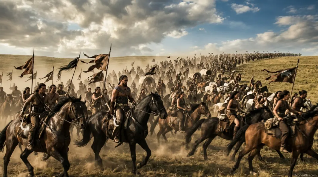
For the Dothraki, movement is not a temporary condition. It is political identity. A khalasar is not just an army marching between homes. It is the home, the court, the market, the command structure and the family network moving together across grass.
That is why a map of the Dothraki Sea must emphasize route logic rather than city borders. The meaningful locations are sacred centers, camps, water lines, grassland edges and ceremonial thresholds.
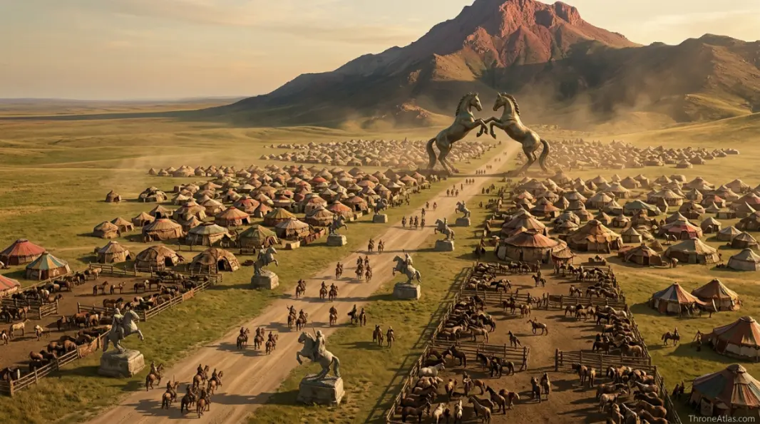
Vaes Dothrak as sacred center
Vaes Dothrak is not a capital in the Westerosi sense. It has no king on a throne, no stone court that rules the plains, and no fixed bureaucracy controlling every rider. Its power comes from shared custom, sacred taboo and memory.
The rule against bloodshed matters because it creates a rare neutral center in a violent culture. The city is where trophies, widows, prophecies and the identity of the horse people gather. It is stillness inside a mobile civilization.
That contrast makes Vaes Dothrak one of the most important landmarks in Essos. It tells readers that even a people built around movement need a sacred map point.
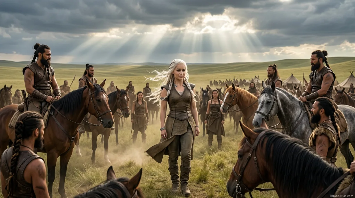
Daenerys and the grassland transformation
Daenerys enters the Dothraki Sea as a political object traded through marriage. The map changes her because there are no Red Keep walls or Pentoshi chambers to hide behind. The grassland forces her into a public culture where status must be performed, learned and defended.
Her transformation is therefore geographic as well as personal. Distance removes her from the old Targaryen exile script. Drogo’s khalasar gives her new language, new danger and new followers. Later, the same grassland power becomes part of her claim to rule across the sea.
A good Dothraki Sea guide should not treat the region as empty background. It is the place where Daenerys learns that power can travel without a castle.
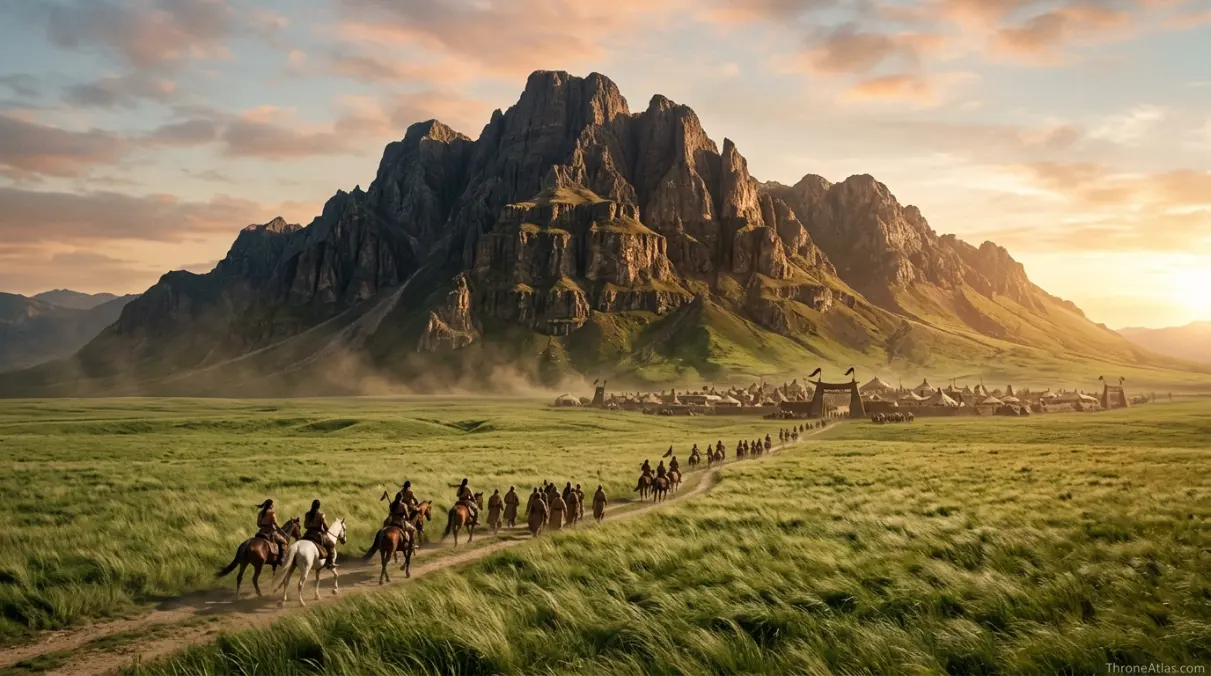
Open land power versus castle power
The Dothraki Sea is useful in the atlas because it contrasts sharply with Westeros. In Westeros, castles hold roads, houses inherit land and walls define safety. In the grass sea, riders control perception through speed and fear. A strong khalasar can appear, strike and vanish before a settled lord understands the route.
This does not make Dothraki power limitless. The same openness that creates freedom can also create supply problems, succession instability and dependence on charismatic leaders. The map gives strength and risk at the same time.
That balance is the page’s core answer: the Dothraki Sea is powerful because it is hard to fix, but that also makes it hard to govern as a normal kingdom.
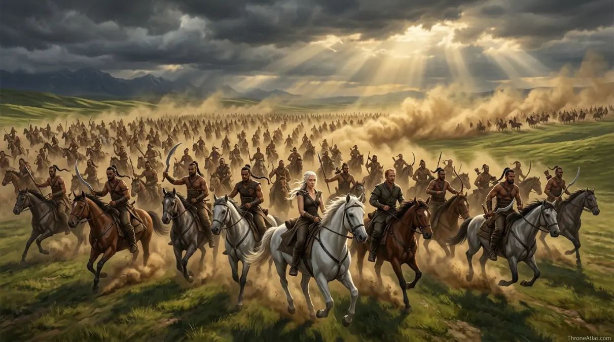
Detailed map reading for Dothraki Sea Map
The fastest way to understand Dothraki Sea Map is to treat every landmark as a pressure point. In this atlas style, a place is included only when it changes movement, loyalty, fear, command, identity, trade, religion, survival or memory. That is why the map below is not a flat list of names. It is a sequence of locations that explain how power moves through terrain.
Read the route from the first point to the final consequence. The early locations establish the map’s basic logic, the middle points show where control becomes unstable, and the final points explain how the location connects to the larger Westeros or Essos cluster. This gives the page more value than a short recap because it answers what happened, where it happened, why it happened there and what the next connected page should be.
1. Western Grass Edge — Entry from Free Cities
The grasslands begin after more settled urban routes fade behind the traveler. In map terms, Western Grass Edge belongs to Essos, but its real function is relational: it tells the reader how the starting frame leads toward Khalasar Road. That is the difference between a label and a useful atlas point.
This point also gives the page a stronger entity layer. It ties the route to houses, roads, coasts, gates, fields, walls, waters or halls that readers already associate with the world. When those connections are clear, the map feels handcrafted rather than generic.
2. Khalasar Road — Moving power
A khalasar is a mobile state, carrying law, fear and identity across the plains. In map terms, Khalasar Road belongs to Dothraki Sea, but its real function is relational: it tells the reader how Western Grass Edge leads toward Drogo’s Camp. That is the difference between a label and a useful atlas point.
This point also gives the page a stronger entity layer. It ties the route to houses, roads, coasts, gates, fields, walls, waters or halls that readers already associate with the world. When those connections are clear, the map feels handcrafted rather than generic.
3. Drogo’s Camp — Marriage and authority
Daenerys enters Dothraki power through Drogo’s camp and learns its rules from inside. In map terms, Drogo’s Camp belongs to Grass sea, but its real function is relational: it tells the reader how Khalasar Road leads toward Vaes Dothrak. That is the difference between a label and a useful atlas point.
This point also gives the page a stronger entity layer. It ties the route to houses, roads, coasts, gates, fields, walls, waters or halls that readers already associate with the world. When those connections are clear, the map feels handcrafted rather than generic.
4. Vaes Dothrak — Sacred city
The only permanent city becomes a cultural center rather than a conventional capital. In map terms, Vaes Dothrak belongs to Dothraki Sea, but its real function is relational: it tells the reader how Drogo’s Camp leads toward Mother of Mountains. That is the difference between a label and a useful atlas point.
This point also gives the page a stronger entity layer. It ties the route to houses, roads, coasts, gates, fields, walls, waters or halls that readers already associate with the world. When those connections are clear, the map feels handcrafted rather than generic.
5. Mother of Mountains — Holy landmark
The mountain gives the grass sea a sacred vertical marker. In map terms, Mother of Mountains belongs to Near Vaes Dothrak, but its real function is relational: it tells the reader how Vaes Dothrak leads toward Horse Gate Route. That is the difference between a label and a useful atlas point.
This point also gives the page a stronger entity layer. It ties the route to houses, roads, coasts, gates, fields, walls, waters or halls that readers already associate with the world. When those connections are clear, the map feels handcrafted rather than generic.
6. Horse Gate Route — Ceremonial threshold
Ritual entrances make culture visible as geography. In map terms, Horse Gate Route belongs to Vaes Dothrak, but its real function is relational: it tells the reader how Mother of Mountains leads toward Widow Path. That is the difference between a label and a useful atlas point.
This point also gives the page a stronger entity layer. It ties the route to houses, roads, coasts, gates, fields, walls, waters or halls that readers already associate with the world. When those connections are clear, the map feels handcrafted rather than generic.
7. Widow Path — Dosh Khaleen control
Widows of khals show how female status is contained by custom. In map terms, Widow Path belongs to Vaes Dothrak, but its real function is relational: it tells the reader how Horse Gate Route leads toward United Horde Route. That is the difference between a label and a useful atlas point.
This point also gives the page a stronger entity layer. It ties the route to houses, roads, coasts, gates, fields, walls, waters or halls that readers already associate with the world. When those connections are clear, the map feels handcrafted rather than generic.
8. United Horde Route — Late-war mobilization
Daenerys later turns scattered riding power into a continental war asset. In map terms, United Horde Route belongs to Essos to Westeros, but its real function is relational: it tells the reader how Widow Path leads toward the wider atlas cluster. That is the difference between a label and a useful atlas point.
This point also gives the page a stronger entity layer. It ties the route to houses, roads, coasts, gates, fields, walls, waters or halls that readers already associate with the world. When those connections are clear, the map feels handcrafted rather than generic.
Why this Dothraki Sea Map deserves a dedicated atlas page
Some locations in the Thrones world work like background scenery, but this one works like a system. It organizes movement, determines who can reach whom, and often decides whether a character is protected, exposed, isolated or politically useful. A dedicated map page lets the reader see those hidden mechanics instead of only remembering a famous scene or family name.
The strongest way to read this page is through three layers. First is the physical layer: water, road, gate, island, field, wall, marsh, tower or castle. Second is the political layer: the house, commander, oath, religion, fleet, army or bloodline that claims the place. Third is the story layer: the decision, betrayal, test, alliance or survival moment that happens because of that geography.
That layered reading is why ThroneAtlas pages keep a consistent visual structure while giving each map its own voice. The hero gives orientation, the compass card restores the atlas identity, the quick answer gives the searcher an immediate answer, and the deeper guide explains the location’s real narrative function. The structure is familiar; the analysis stays unique.
For readers building a larger path through the site, this page can connect naturally to regional maps, noble house pages, battle maps, route guides and lore explainers. The page is meant to act as a useful bridge, not a dead-end article. After understanding this map, the next best step is to open the nearest region or house page and compare how that broader geography changes the meaning of the specific location.
The page also avoids repeating the same phrase until it feels mechanical. Instead, it uses related entities and natural language: controlling houses, nearby landmarks, route direction, strategic weakness, cultural memory, political consequence and character movement. That gives the content topical completeness without flattening it into keyword stuffing.
What readers usually want to know about Dothraki Sea Map
Most readers arrive with one of three needs. Some want a quick location answer: where is it, what region does it belong to, and which nearby places matter? Some want story context: which characters, houses or armies are tied to it? Others want a clean route: how does this place connect to the next castle, coast, city, battlefield or sacred site?
This page is built to answer all three without forcing the reader through a long introduction. The quick answer gives the first answer. The fact cards organize the core signals. The route schematic shows movement. The deep sections explain why the map matters. The FAQ catches the short follow-up questions readers often search separately.
For a fan atlas, that balance matters. The page should feel useful to someone who only needs a fast answer, but it should also reward the reader who wants to understand the deeper geography of power. That is the 10/10 version of a ThroneAtlas map page: fast at the top, rich in the middle, and connected at the end.
Location order and story function
The table below condenses the map into a scanner-friendly format for readers who want quick orientation before moving into related maps.
| Location | Map role | Region / route | Story function |
|---|---|---|---|
| Western Grass Edge | Entry from Free Cities | Essos | The grasslands begin after more settled urban routes fade behind the traveler. |
| Khalasar Road | Moving power | Dothraki Sea | A khalasar is a mobile state, carrying law, fear and identity across the plains. |
| Drogo’s Camp | Marriage and authority | Grass sea | Daenerys enters Dothraki power through Drogo’s camp and learns its rules from inside. |
| Vaes Dothrak | Sacred city | Dothraki Sea | The only permanent city becomes a cultural center rather than a conventional capital. |
| Mother of Mountains | Holy landmark | Near Vaes Dothrak | The mountain gives the grass sea a sacred vertical marker. |
| Horse Gate Route | Ceremonial threshold | Vaes Dothrak | Ritual entrances make culture visible as geography. |
| Widow Path | Dosh Khaleen control | Vaes Dothrak | Widows of khals show how female status is contained by custom. |
| United Horde Route | Late-war mobilization | Essos to Westeros | Daenerys later turns scattered riding power into a continental war asset. |
Dothraki Sea Map Questions
The Dothraki Sea is the vast grassland region in central Essos.
It is called a sea because the grasslands stretch like an ocean and are crossed by riders rather than ships.
Vaes Dothrak is the sacred Dothraki city near the Mother of Mountains.
A khalasar is a mobile Dothraki group led by a khal.
It is where Daenerys becomes Khaleesi and later gains Dothraki military power.
Related maps, houses, battles and lore routes
Essos & Wall cluster
ThroneAtlas is an independent fan-made atlas. Game of Thrones, House of the Dragon and related names belong to their respective rights holders. This page is for educational, lore-navigation and fan-reference purposes.