Iron Islands Map Pyke, Salt Throne, Great Wyk, Old Wyk, Harlaw & Greyjoy Sea Routes
Pyke · Great Wyk · Old Wyk · Harlaw · Salt Throne · Reaving Routes
Explore the Iron Islands map with a premium ThroneAtlas breakdown of geography, routes, landmarks, house power, character movement, and story meaning. This page is designed as a SERP-ready atlas guide for readers who want the fast answer first and the deeper map logic after.
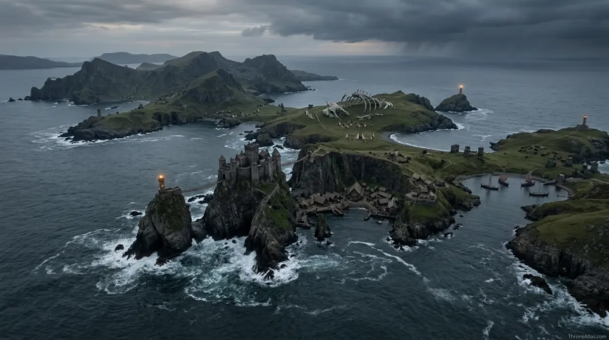
The Iron Islands map shows a harsh archipelago off the western coast of Westeros. Its islands are poor in farmland but rich in ships, cliffs, salt culture, and naval reach. Pyke is the Greyjoy seat, Old Wyk carries religious memory through the Drowned God, Harlaw provides one of the stronger noble holdings, and the entire region looks outward to sea rather than inward to the mainland.
Iron Islands Map at a Glance
Use these fast facts before diving into the full route breakdown and location analysis.
How to Read the Iron Islands Map
The Iron Islands map is not a map of farmland, roads, and castles in the mainland sense. It is a map of exposure. Every island faces wind, waves, shortage, and the temptation of nearby coasts. Because the islands cannot match the fertile Reach or the gold of the Westerlands, their culture turns to ships, raids, and the old question of whether ironborn power should be won by trade or taken by force.
For readers using this Iron Islands map as a viewing companion, the best method is to connect each named landmark with a decision point. Ask who can enter, who is blocked, what kind of force can move there, and what emotional pressure the setting creates. ThroneAtlas pages are built around that logic because location is never just decoration in Westeros or Essos; it is the silent engine behind alliances, betrayals, escape routes, and claims to legitimacy.
Pyke as the Political Anchor
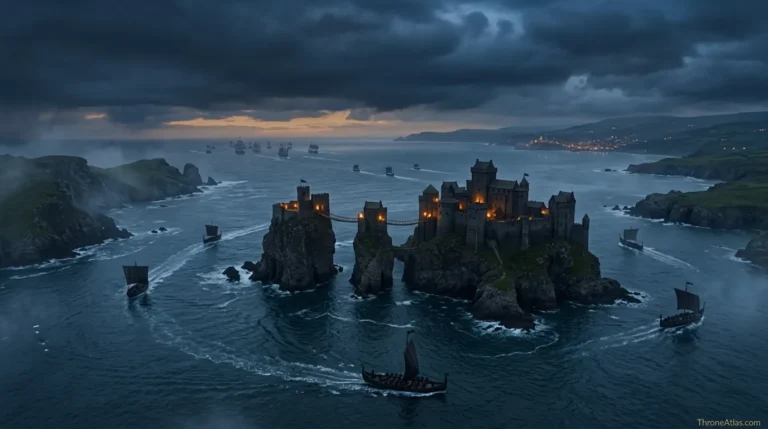
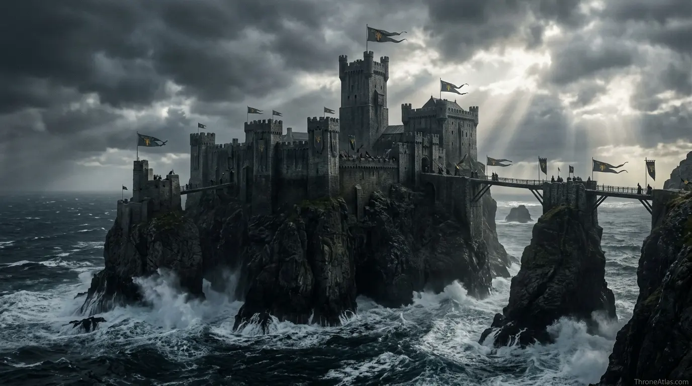
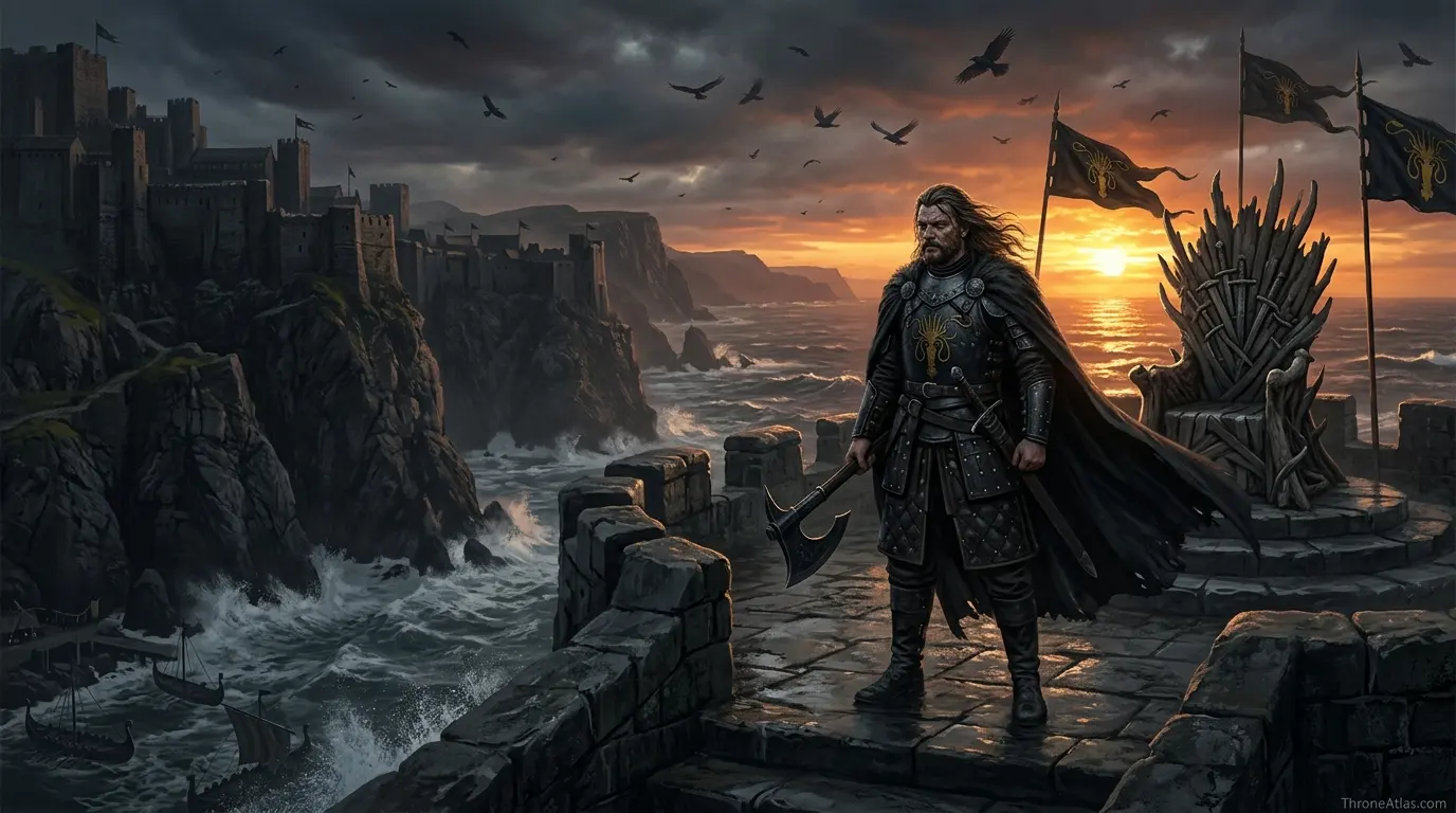
Pyke is the best-known location because House Greyjoy sits there, but the archipelago is not a single-island story. The Greyjoys rule a scattered people whose loyalty can be stormy. The Salt Throne, the kingsmoot tradition, the captains, and the Drowned God all make the islands more decentralized than a simple castle map might suggest.
For readers using this Iron Islands map as a viewing companion, the best method is to connect each named landmark with a decision point. Ask who can enter, who is blocked, what kind of force can move there, and what emotional pressure the setting creates. ThroneAtlas pages are built around that logic because location is never just decoration in Westeros or Essos; it is the silent engine behind alliances, betrayals, escape routes, and claims to legitimacy.
Why Old Wyk and Harlaw Matter
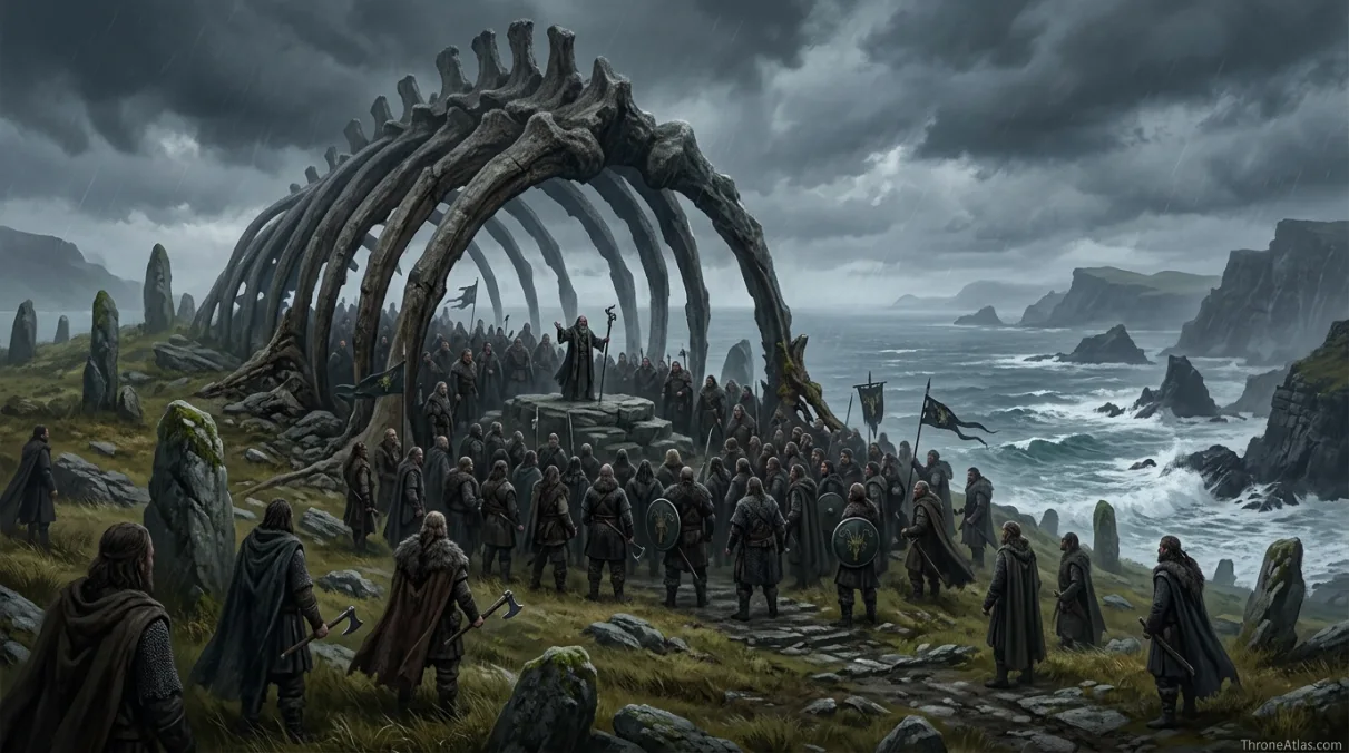
Old Wyk represents ancient legitimacy. Harlaw represents practical noble power. Great Wyk represents size and population. When you place these islands together, the Iron Islands become more than a pirate stereotype. They become a harsh maritime society where geography constantly argues with ambition.
For readers using this Iron Islands map as a viewing companion, the best method is to connect each named landmark with a decision point. Ask who can enter, who is blocked, what kind of force can move there, and what emotional pressure the setting creates. ThroneAtlas pages are built around that logic because location is never just decoration in Westeros or Essos; it is the silent engine behind alliances, betrayals, escape routes, and claims to legitimacy.
Ironborn Routes Across Westeros
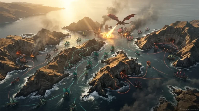
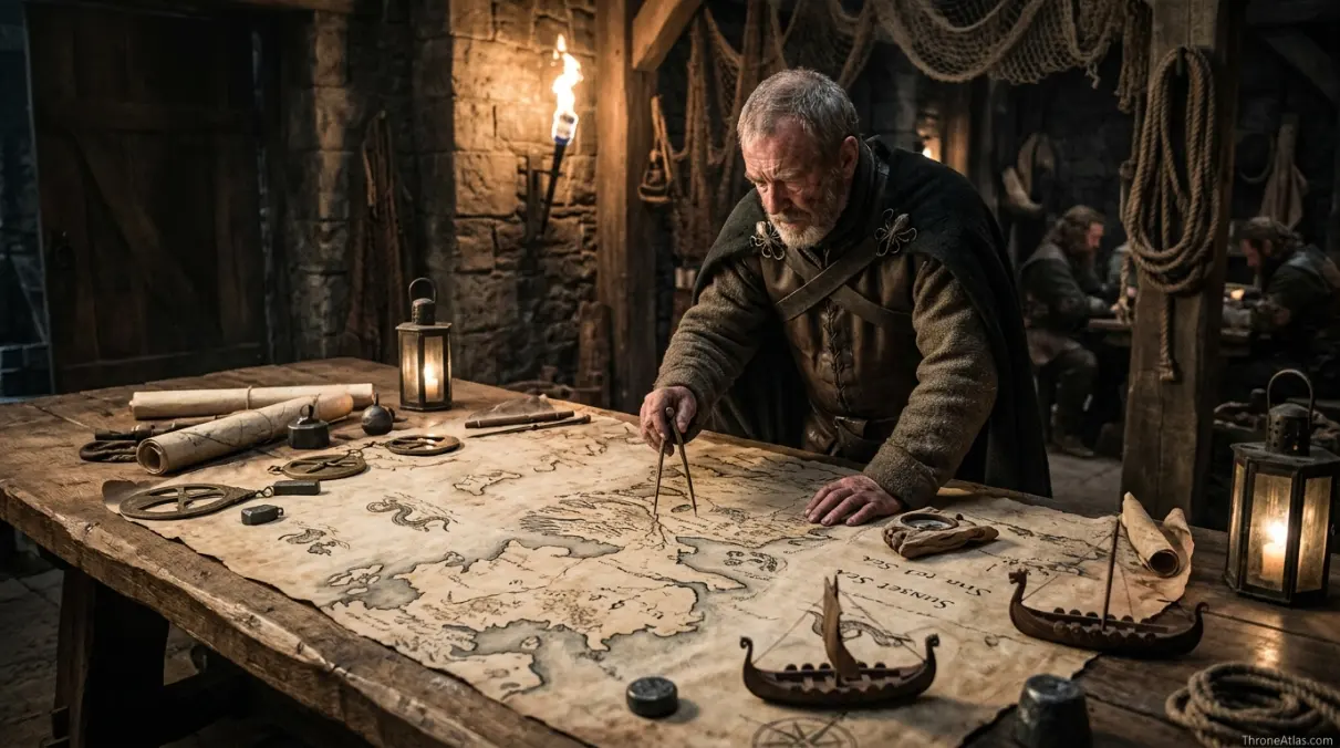
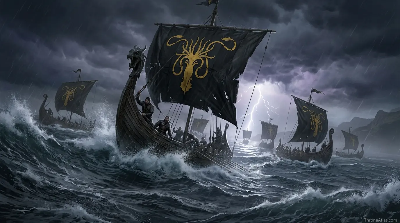
From the Iron Islands, ships can threaten the western coast faster than most land armies can respond. That explains attacks on the North, pressure on the Westerlands, and the constant problem of coastal defense. The islands are poor on land but dangerous at sea, which makes them a small region with an outsized role in Westerosi wars.
For readers using this Iron Islands map as a viewing companion, the best method is to connect each named landmark with a decision point. Ask who can enter, who is blocked, what kind of force can move there, and what emotional pressure the setting creates. ThroneAtlas pages are built around that logic because location is never just decoration in Westeros or Essos; it is the silent engine behind alliances, betrayals, escape routes, and claims to legitimacy.
Location Logic: What the Iron Islands Map Explains Better Than a Wiki Entry
A normal wiki-style entry can tell you what Pyke is, who rules the area, or which episode made the location memorable. A proper atlas page has to do more. It must explain why the place sits where it sits, what kind of movement the terrain allows, and how the setting changes the behavior of characters who enter it. That is the reason this page separates the Iron Islands map into landmarks, route stages, political pressure, and reader-useful search answers.
The first layer is access. If a character or army cannot easily reach a place, the location gains power even before any dialogue begins. On this page, the access story starts with Pyke and continues through Old Wyk. Those points explain the difference between a location that can be visited casually and a location that must be earned, negotiated, crossed, or survived.
The second layer is authority. Every major place in the world of ice and fire has a public face: a throne room, a court, a gate, a harbor, a temple, a market, a tower, or a symbolic road. For the Iron Islands map, that authority becomes visible through landmarks such as Pyke, Great Wyk, Old Wyk. These places tell the reader who controls the setting and what kind of control they prefer: military control, social control, financial control, religious control, or emotional control.
The third layer is memory. Locations survive because stories attach themselves to them. A reader may search for a map because they forgot where something happened, but they stay because the map reminds them why it mattered. That is why the content here does not treat Iron Islands as a blank backdrop. It treats the region as a living archive of decisions, routes, losses, bargains, and inherited identity.
Step-by-Step Reading Path for This Map
Start with Pyke, because this is the first practical point in the route logic. It tells you how a traveler enters the setting and what kind of danger or permission defines the beginning of the journey. In a strong map page, the first point is rarely random. It sets the tone for the whole location.
Move next to Old Wyk. This is the place where the map begins to narrow or reveal power. Sometimes it is a gate; sometimes it is a harbor, road, court, or political threshold. The important thing is that the route no longer feels abstract. The reader can now see who is being filtered, tested, watched, welcomed, or trapped.
The middle of the map runs through Harlaw and Great Wyk. These points usually hold the core story tension. They explain where characters make decisions, where rulers display authority, where hidden danger appears, or where the setting shifts from safe to unsafe. When you rewatch a scene, these middle points are the ones that make blocking, dialogue, and political pressure easier to understand.
Finally, end at Western coasts. The last point shows what the location changes. A good atlas route should not finish with the same emotional state it began with. Someone has gained leverage, lost safety, accepted identity, rejected a claim, survived a trial, or carried new knowledge toward the next map page.
What Most Iron Islands Map Pages Miss
Most thin map pages stop after naming the location and dropping a few famous landmarks. That is not enough for a competitive ThroneAtlas page. Searchers want to know where the location is, but they also want to understand the story faster than they could by opening five separate summaries. This version keeps the famous names visible while adding the missing layer: how terrain, travel, and politics work together.
The most important missing piece is often scale. A place can look small on a continent map and still control a huge amount of narrative meaning. Another missing piece is sequence. Readers do not only need a dot; they need the order of movement. The route from Pyke to Western coasts gives that order and makes the location easier to remember.
The final missing piece is comparison. The Iron Islands map becomes clearer when compared with other ThroneAtlas pages. If another location rules by walls, this one may rule by distance. If another region is wealthy, this one may be dangerous because it is poor but mobile. If another city is open and public, this one may be powerful because it hides its true decisions behind doors, canals, courts, or cliffs.
Key Landmarks to Mark on the Iron Islands Map
The most useful version of a Iron Islands map does not overload the reader with every minor room, road, alley, or coastal bend. It highlights the locations that explain the story: Pyke, Great Wyk, Old Wyk, Harlaw, and the routes that connect them. These are the points that change who has leverage, who is trapped, who can escape, and who can turn distance into authority.
- Pyke
- Great Wyk
- Old Wyk
- Harlaw
- Orkmont
- Salt Throne
- Nagga’s Hill
When these points are read together, the page becomes more than a glossary. It becomes an atlas of pressure. A castle can protect a family, but it can also isolate them. A harbor can bring trade, but it can also bring invasion. A gate can defend a realm, but it can also decide who is allowed into the story at all.
Fast SERP Summary for the Iron Islands Map
If you only need the short version, remember this: the Iron Islands map is important because its geography explains story behavior. It is not enough to know the name of Pyke; the useful answer is how Pyke connects with Great Wyk, Old Wyk, and the larger region of Iron Islands. Those connections are what turn a single setting into a working map.
For SEO and reader experience, this page is structured around the way fans actually search. Some readers arrive asking where the location is. Some want the major landmarks. Others remember a character scene but not the route. Others need a quick answer for a rewatch, an article, a Pinterest pin, or a lore comparison. The page therefore gives the answer in layers: hero summary, quick answer, fact grid, visual map logic, landmark list, route schematic, and FAQ.
For deeper reading, use the related atlas links instead of treating this as a dead-end page. The strongest ThroneAtlas cluster comes from linking a location to its ruling house, region map, battle map, and character route. That is how topical authority builds naturally: each page answers its own keyword while helping the reader move to the next logical question.
In practical terms, the Iron Islands map should be used as a map of cause and effect. The setting causes certain decisions to become easier and others to become almost impossible. It shapes who has safety, who needs permission, who controls entry, who can flee, who can threaten the area, and who pays the cost when the route changes.
Why This Location Belongs in the ThroneAtlas Map Cluster
This guide is built to support the wider ThroneAtlas map cluster, including region maps, house maps, battle maps, and character journey maps. The goal is not only to answer where a location is, but to explain why its position matters. A 10/10 map page should satisfy quick search intent, then reward deeper reading with geography, route logic, story context, and internal links to related atlas pages.
That is why this page uses a quick-answer box for fast answers, a fact grid for scanning, image sections for visual orientation, a route schematic for movement, and FAQ schema for question-based discovery. Readers coming from Google, Pinterest, AI Overviews, or internal links can quickly understand the page and then continue into the broader atlas.
How Movement Works on the Iron Islands Map
The route sequence below turns the location into a readable story path.
Why This Map Wins Search Intent
A strong ThroneAtlas location page answers the basic where-question, then explains political leverage, character pressure, and route clarity.
Political leverage
Iron Islands geography decides who can negotiate from safety, who must travel, and who can threaten the wider map.
Character pressure
The Iron Islands map is useful because it turns movement into emotion: exile, return, refuge, ambition, or entrapment.
Route clarity
Each route point makes the location readable as a sequence instead of a flat label.
| Reader Question | Best Answer on This Page |
|---|---|
| Where is it? | Iron Islands, connected through the route points listed above. |
| Why does it matter? | It changes power, movement, safety, identity, or political leverage in the story. |
| What should I remember? | The main landmarks are Pyke, Great Wyk, Old Wyk, Harlaw, Orkmont. |
| What should I read next? | Continue into the linked region, house, and journey maps for the full atlas cluster. |
Iron Islands Map Questions
Fast answers for readers, search snippets, and AI Overview-style queries.
The Iron Islands sit off the western coast of Westeros, west of the Riverlands and the North and northwest of the Westerlands.
Pyke is the main Greyjoy castle and the best-known seat of Ironborn power.
Their fleet can strike western coasts quickly, making them strategically dangerous despite limited farmland.
Old Wyk is tied to ancient Ironborn tradition, the Drowned God, Nagga’s Hill, and kingsmoot memory.
Primary Links
ThroneAtlas is an independent fan-made atlas and lore reference. It is not affiliated with HBO, Warner Bros., George R. R. Martin, or the official publishers. Images are used as atmospheric, non-official visual references with descriptive alt text for map-style educational context.