Pyke Map Greyjoy Castle, Sea Towers, Rope Bridges, Salt Throne & Theon’s Ironborn Route
Sea Towers · Rope Bridges · Salt Throne · Theon · Balon · Euron
Explore the Pyke map with a premium ThroneAtlas breakdown of geography, routes, landmarks, house power, character movement, and story meaning. This page is designed as a SERP-ready atlas guide for readers who want the fast answer first and the deeper map logic after.
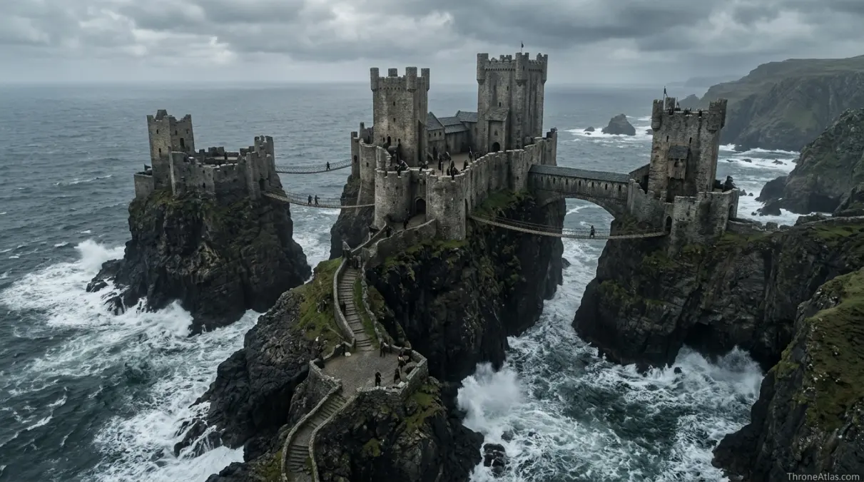
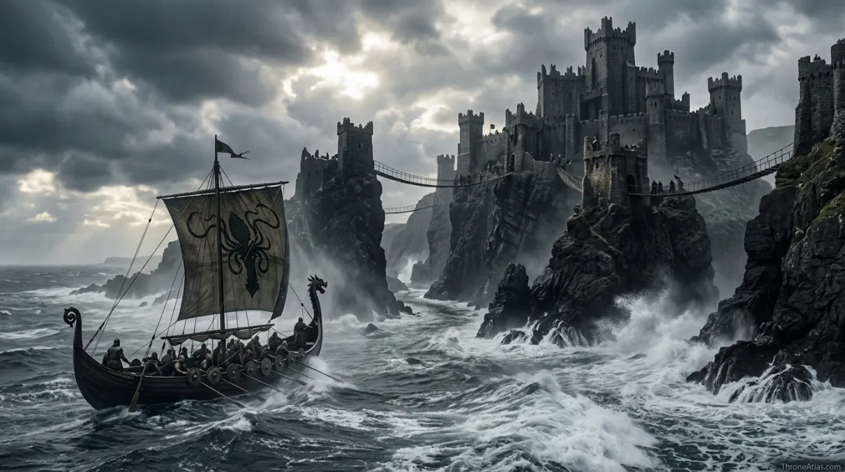
The Pyke map focuses on the Greyjoy seat built across sea stacks on the Iron Islands. Its towers, bridges, cliffs, salt air, and exposed paths make it feel less like a mainland castle and more like a storm-battered declaration of Ironborn identity. Pyke explains Theon’s return, Balon’s harsh court, Euron’s rise, and the emotional divide between Stark upbringing and Greyjoy blood.
Pyke Map at a Glance
Use these fast facts before diving into the full route breakdown and location analysis.
How to Read the Pyke Map
Pyke should be read as a castle split by erosion and tradition. Instead of one broad defensive wall, its strength comes from separation. Towers stand on sea stacks. Bridges connect what waves and cliffs have pulled apart. That layout gives Pyke its unforgettable feeling: a family seat that is physically fragmented, psychologically harsh, and constantly reminded that the sea is stronger than stone.
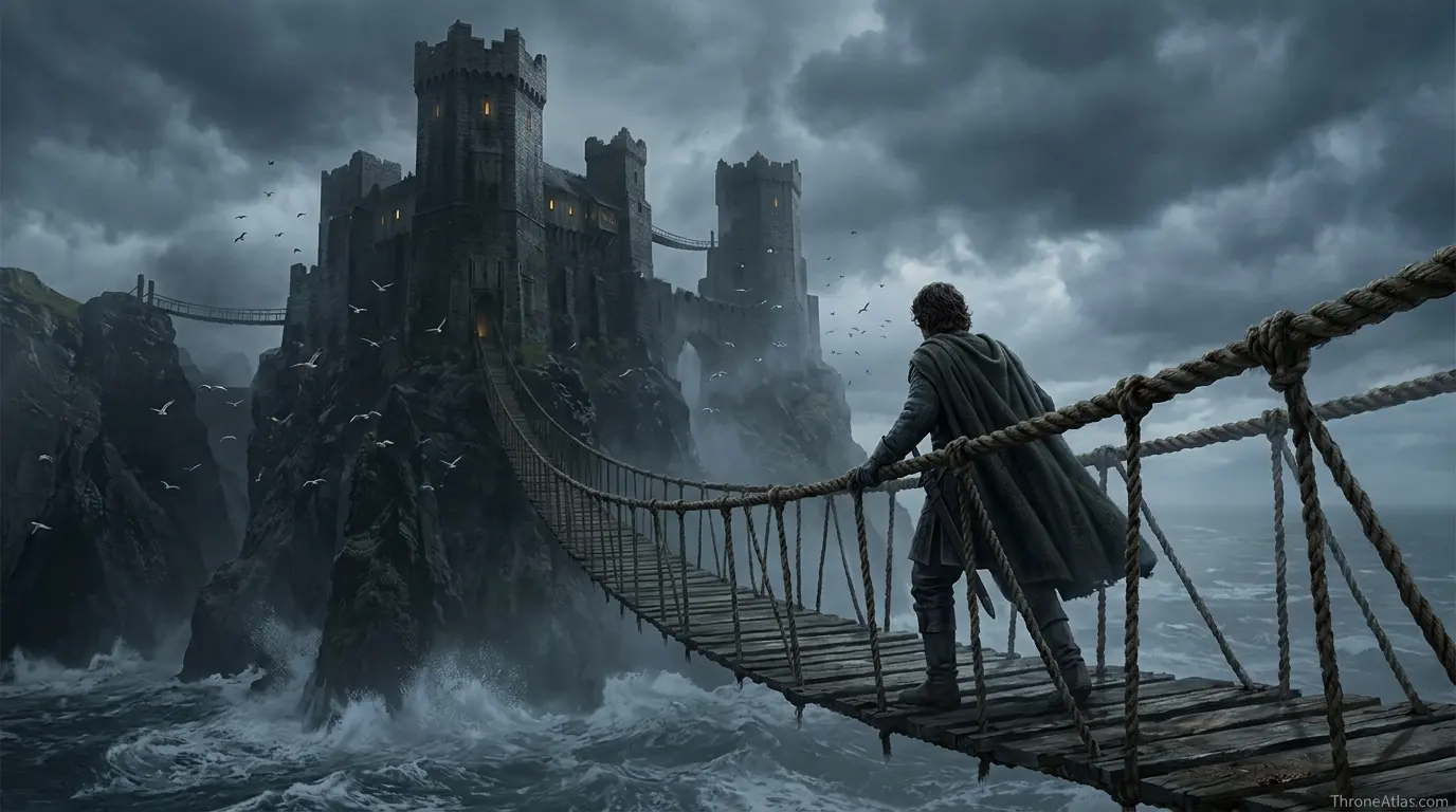
Theon’s Route Back to the Iron Islands
Theon’s return to Pyke is one of the strongest map-driven identity stories in the series. He does not simply visit his birthplace. He travels from the warm memory of Winterfell into a cold island system that judges him by different values. The bridges, cliffs, and salt throne turn geography into emotional pressure. Every step asks whether he is Stark-raised ward, Greyjoy heir, or neither.
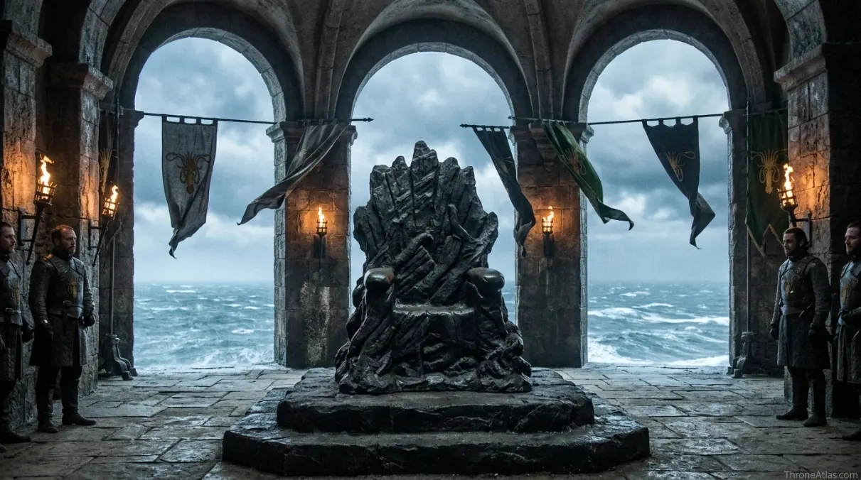
Balon, Euron, and the Court of Salt
Pyke’s political scenes work because the location rejects softness. Balon’s pride, Euron’s theatrical danger, Yara’s competence, and Theon’s insecurity are all sharpened by a castle that feels unstable underfoot. The Salt Throne is not a golden seat in a warm capital; it is a symbolic claim to rule by endurance, sea power, and refusal to kneel.
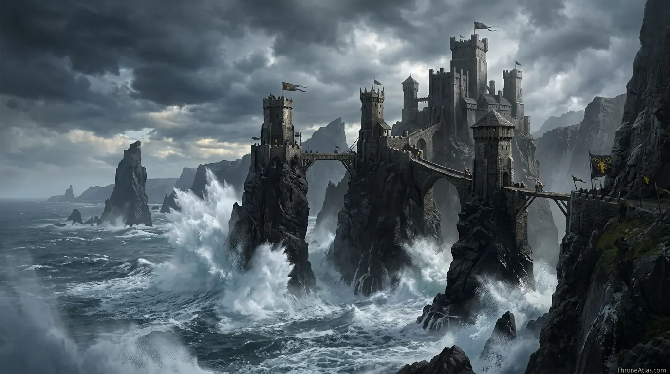
Why Pyke Is Not Just Another Castle
Comparing Pyke with Winterfell, Highgarden, or the Eyrie shows why each region’s map creates a different political culture. Winterfell is endurance and hearth. Highgarden is abundance. The Eyrie is altitude. Pyke is exposure. The castle’s physical form teaches the viewer how the Ironborn see themselves: chosen by salt, hardened by scarcity, and separated from mainland compromise.
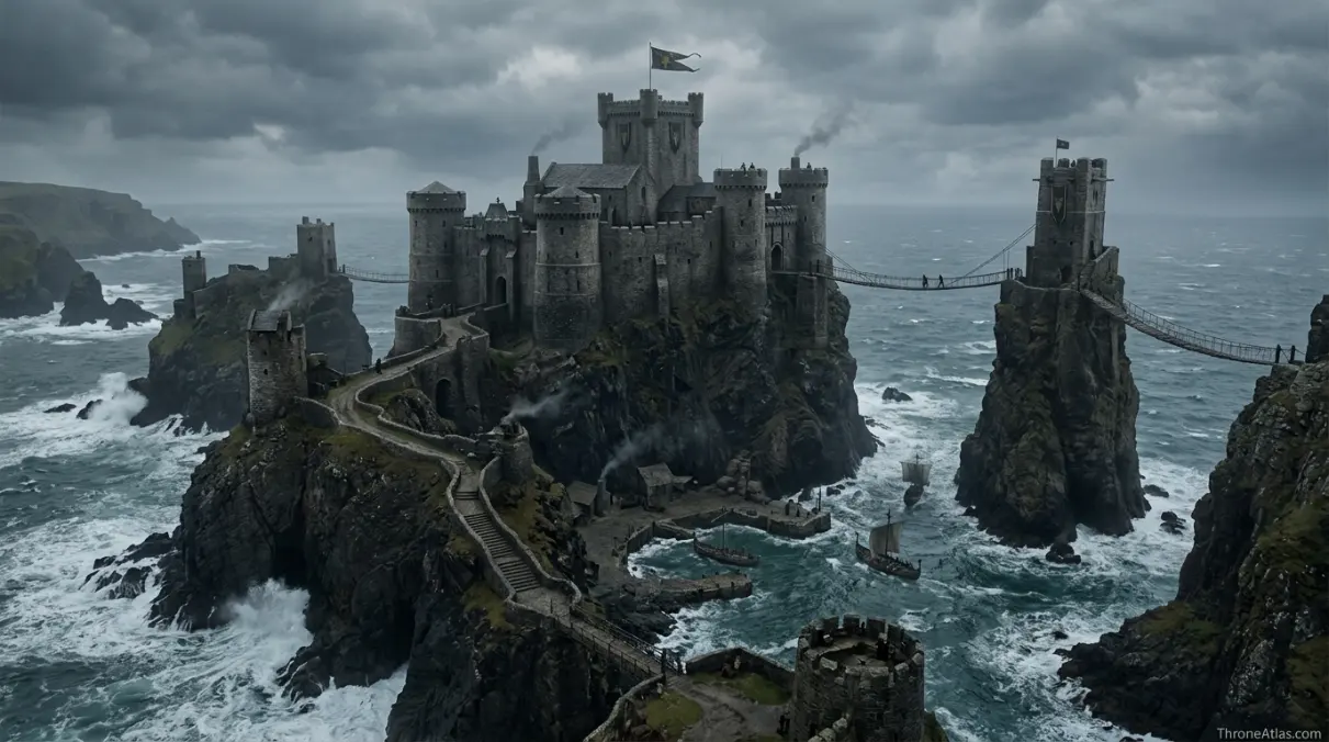
Location Logic: Access, Authority and Memory
A normal wiki-style entry can tell you what Great Keep is, who rules the area, or which episode made the location memorable. A proper atlas page has to do more. It must explain why the place sits where it sits, what kind of movement the terrain allows, and how the setting changes the behavior of characters who enter it. That is the reason this page separates the Pyke map into landmarks, route stages, political pressure, and reader-useful search answers.
The first layer is access. If a character or army cannot easily reach a place, the location gains power even before any dialogue begins. On this page, the access story starts with Western approach and continues through Harbor landing. Those points explain the difference between a location that can be visited casually and a location that must be earned, negotiated, crossed, or survived.
The second layer is authority. Every major place in the world of ice and fire has a public face: a throne room, a court, a gate, a harbor, a temple, a market, a tower, or a symbolic road. For the Pyke map, that authority becomes visible through landmarks such as Great Keep, Sea Tower, Rope bridges. These places tell the reader who controls the setting and what kind of control they prefer: military control, social control, financial control, religious control, or emotional control.
The third layer is memory. Locations survive because stories attach themselves to them. A reader may search for a map because they forgot where something happened, but they stay because the map reminds them why it mattered. That is why the content here does not treat Iron Islands as a blank backdrop. It treats the region as a living archive of decisions, routes, losses, bargains, and inherited identity.
Step-by-Step Reading Path for This Map
Start with Western approach, because this is the first practical point in the route logic. It tells you how a traveler enters the setting and what kind of danger or permission defines the beginning of the journey. In a strong map page, the first point is rarely random. It sets the tone for the whole location.
Move next to Harbor landing. This is the place where the map begins to narrow or reveal power. Sometimes it is a gate; sometimes it is a harbor, road, court, or political threshold. The important thing is that the route no longer feels abstract. The reader can now see who is being filtered, tested, watched, welcomed, or trapped.
The middle of the map runs through Bridge network and Great Keep. These points usually hold the core story tension. They explain where characters make decisions, where rulers display authority, where hidden danger appears, or where the setting shifts from safe to unsafe. When you rewatch a scene, these middle points are the ones that make blocking, dialogue, and political pressure easier to understand.
Finally, end at Salt Throne. The last point shows what the location changes. A good atlas route should not finish with the same emotional state it began with. Someone has gained leverage, lost safety, accepted identity, rejected a claim, survived a trial, or carried new knowledge toward the next map page.
Scale, Sequence and Comparison
The most important missing piece is often scale. A place can look small on a continent map and still control a huge amount of narrative meaning. Another missing piece is sequence. Readers do not only need a dot; they need the order of movement. The route from Western approach to Salt Throne gives that order and makes the location easier to remember.
The final missing piece is comparison. The Pyke map becomes clearer when compared with other ThroneAtlas pages. If another location rules by walls, this one may rule by distance. If another region is wealthy, this one may be dangerous because it is poor but mobile. If another city is open and public, this one may be powerful because it hides its true decisions behind doors, canals, courts, or cliffs.
Key Landmarks to Mark on the Pyke Map
The most useful version of a Pyke map does not overload the reader with every minor room, road, alley, or coastal bend. It highlights the locations that explain the story: Great Keep, Sea Tower, Rope bridges, Salt Throne, and the routes that connect them. These are the points that change who has leverage, who is trapped, who can escape, and who can turn distance into authority.
- Great Keep
- Sea Tower
- Rope bridges
- Salt Throne
- Harbor approaches
- Cliff paths
- Storm coast
When these points are read together, the page becomes more than a glossary. It becomes an atlas of pressure. A castle can protect a family, but it can also isolate them. A harbor can bring trade, but it can also bring invasion. A gate can defend a realm, but it can also decide who is allowed into the story at all.
How Movement Works on the Pyke Map
The route sequence below turns the location into a readable story path.
Why This Place Matters
Three ways this place shapes the story.
Political leverage
Iron Islands geography decides who can negotiate from safety, who must travel, and who can threaten the wider map.
Character pressure
The Pyke map is useful because it turns movement into emotion: exile, return, refuge, ambition, or entrapment.
Route clarity
Each route point makes the location readable as a sequence instead of a flat label.
| Reader Question | Best Answer on This Page |
|---|---|
| Where is it? | Iron Islands, connected through the route points listed above. |
| Why does it matter? | It changes power, movement, safety, identity, or political leverage in the story. |
| What should I remember? | The main landmarks are Great Keep, Sea Tower, Rope bridges, Salt Throne, Harbor approaches. |
| What should I read next? | Continue into the linked region, house, and journey maps for the full atlas cluster. |
Pyke Map Questions
Quick answers to the most common questions.
Pyke is on the Iron Islands, off the western coast of Westeros.
Pyke is the seat of House Greyjoy, rulers of the Iron Islands.
Its sea-stack layout reflects Ironborn coastal defense and creates a dramatic castle separated by bridges and cliffs.
Pyke represents Theon’s conflict between his Greyjoy birth and Stark upbringing.
ThroneAtlas is an independent fan-made atlas and lore reference. It is not affiliated with HBO, Warner Bros., George R. R. Martin, or the official publishers. Images are used as atmospheric, non-official visual references with descriptive alt text for map-style educational context.