Maps

Step into a map-first guide to Westeros, Essos, and the wider world of Thrones. ThroneAtlas organizes kingdom maps, character journeys, noble house territories, battle locations, castles, cities, sea routes, ancient history, and lore connections into one cinematic atlas for fans who want the story to make sense geographically.

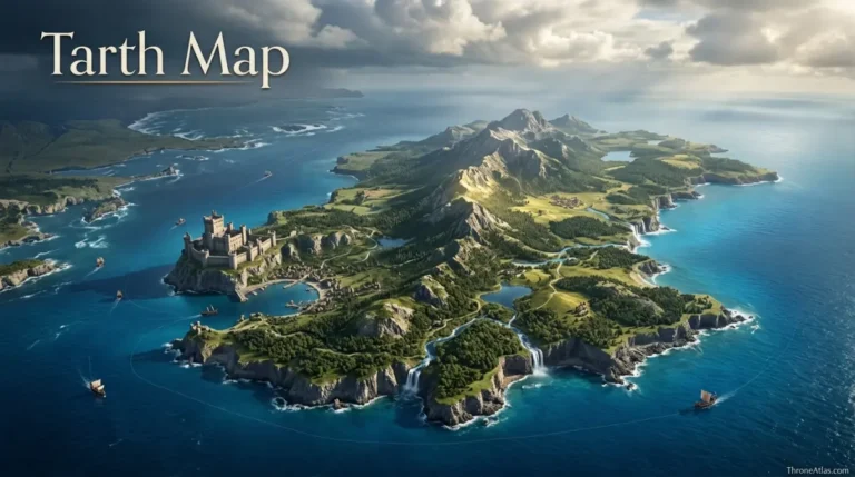
  • Tarth Map

    ThroneAtlas • Visual Lore Atlas Tarth Map Tarth, the Sapphire Isle, lies in the narrow sea off the eastern coast of the stormlands, separated from the mainland by the Straits of Tarth and positioned northeast of Shipbreaker Bay. A mountainous spine runs down the island with hidden valleys, lakes, waterfalls, high meadows and wooded vales….
  • Street of Steel Map

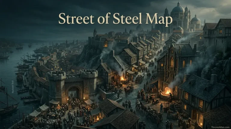
    ThroneAtlas • Visual Lore Atlas Street of Steel Map The Street of Steel begins at the southwest corner of Fishmonger’s Square near the River Gate and curves uphill along the western slope of Visenya’s Hill toward the Great Sept of Baelor. The lower stretch is crowded with open forges, ironmongers and cheaper smiths, while the…

  • Seagard Map

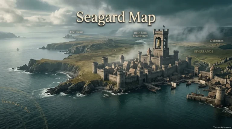
    ThroneAtlas • Visual Lore Atlas Seagard Map Seagard is the castle and town of House Mallister on the western coast of the riverlands, facing Ironman’s Bay and sheltered by the Cape of Eagles. It lies near the headwaters of the Blue Fork, southwest of the Twins and northwest of Oldstones. The famous Booming Tower and…

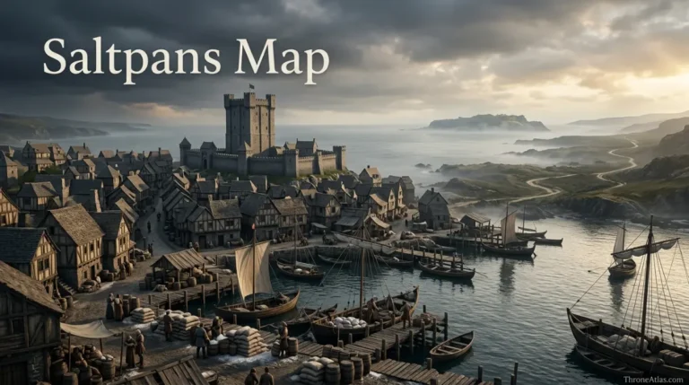
  • Saltpans Map

    ThroneAtlas • Visual Lore Atlas Saltpans Map Saltpans is a small riverlands town on the Bay of Crabs, built around a harbor where fishing and salt trade connect the settlement to the narrow sea. House Cox’s modest castle dominates the town, while shops, inns, alehouses, a sept and stable cluster around the waterfront. The Quiet…

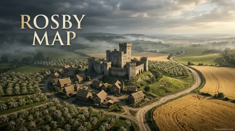
  • Rosby Map

    ThroneAtlas • Visual Lore Atlas Rosby Map Rosby is a small crownlands castle and village just northeast of King’s Landing, positioned on the Rosby road—the shortest route between the capital and Duskendale. The settlement combines a modest castle with a village, sept, apple orchards and barley fields. Its importance is greater than its size suggests…

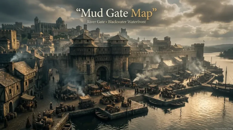
  • Mud Gate Map

    ThroneAtlas • Visual Lore Atlas Mud Gate Map The Mud Gate is the common name for King’s Landing’s River Gate, one of the seven great entrances in the city wall. It stands near the center of the southeastern wall, linking Fishmonger’s Square and the wharfs inside the city to the Blackwater Rush and fish market…

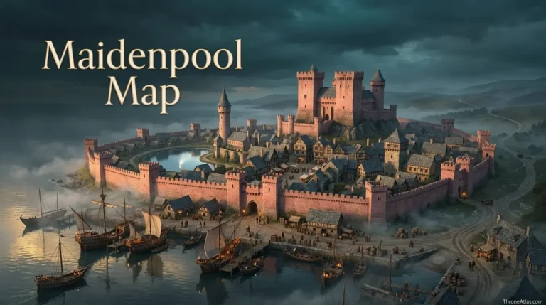
  • Maidenpool Map

    ThroneAtlas • Visual Lore Atlas Maidenpool Map Maidenpool is a walled riverlands town on the southern shore of the Bay of Crabs and the seat of House Mooton. Its pink stone walls, busy harbor and castle on a hill make it a major eastern riverlands landmark. The town is also famous for Jonquil’s Pool. Two…

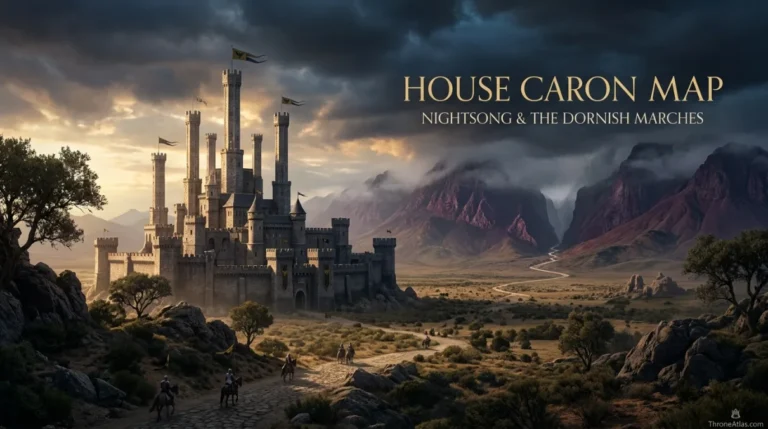
  • House Caron Map

    House Caron Map: Nightsong & the Dornish Marches ThroneAtlas • Visual Lore Atlas House Caron Map House Caron is one of the principal marcher houses of the stormlands, traditionally ruling from Nightsong in the southwestern Dornish Marches. Nightsong stands north of Prince’s Pass and the Red Mountains, where the stormlands meet the dangerous approaches into…

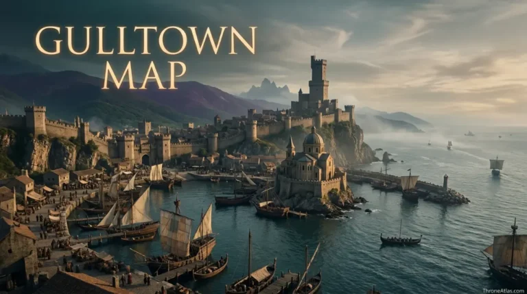
  • Gulltown Map

    ThroneAtlas • Visual Lore Atlas Gulltown Map Gulltown is the Vale of Arryn’s largest settlement and principal seaport, located in a fine natural harbor at the northern tip of the Bay of Crabs. It lies southeast of the Eyrie and south of Runestone. The walled city is ruled by House Grafton, while the Motherhouse of…

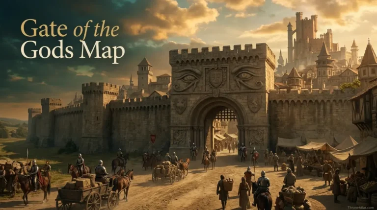
  • Gate of the Gods Map

    ThroneAtlas • Visual Lore Atlas Gate of the Gods Map The Gate of the Gods is one of the seven monumental gates in the walls of King’s Landing and one of the capital’s principal northern entrances. The kingsroad enters the city here from the north. The gate is described as broad and splendid, with detailed…

End of content

End of content