Maps

Step into a map-first guide to Westeros, Essos, and the wider world of Thrones. ThroneAtlas organizes kingdom maps, character journeys, noble house territories, battle locations, castles, cities, sea routes, ancient history, and lore connections into one cinematic atlas for fans who want the story to make sense geographically.

  • Yi Ti Map

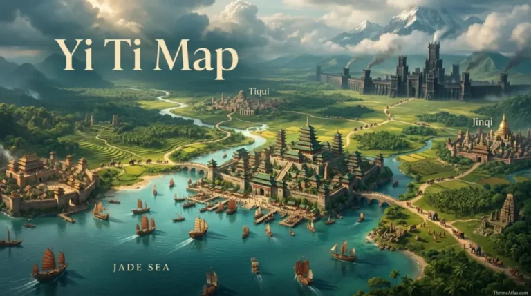
    Yi Ti Map: Cities, Jade Sea and Five Forts ThroneAtlas • Visual Lore Atlas Yi Ti Map Yi Ti occupies the far eastern side of Essos beyond the Bone Mountains, with the Jade Sea along its southern edge. Known map anchors include the great port of Yin, western Asabhad, eastern Jinqi, inland Tiqui, the ruined…
  • Sunfyre Locations Map

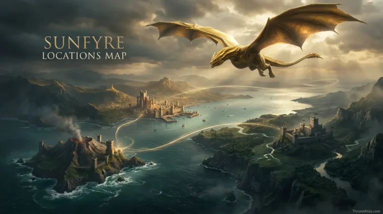
    ThroneAtlas • Visual Lore Atlas Sunfyre Locations Map Sunfyre’s mapped story is shorter but more geographically concentrated than that of many other Targaryen dragons. The golden dragon hatched on Dragonstone, became the mount of Aegon II, fought at Rook’s Rest, survived terrible wounds in the crownlands, and later returned to Dragonstone. Because several phases occur…

  • Summer Isles Map

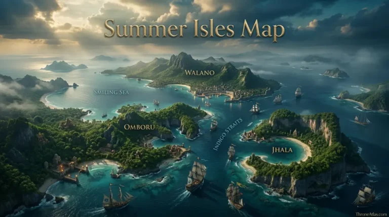
    ThroneAtlas • Visual Lore Atlas Summer Isles Map The Summer Isles are a large archipelago south of Westeros and Essos and west of Sothoryos and Naath. More than fifty islands are known, with Walano, Omboru and Jhala by far the largest. The Smiling Sea separates Walano from Omboru, while the Indigo Straits divide Omboru from…

  • Sothoryos Map

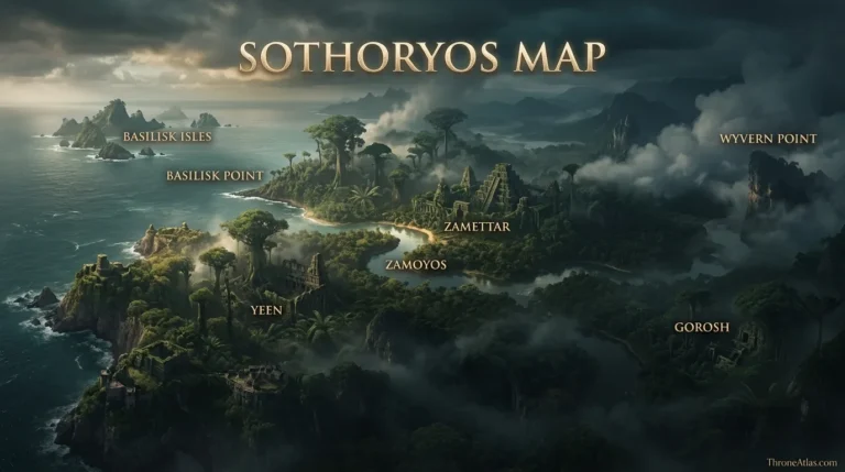
    Sothoryos Map: Known Coast, Ruins and Jungles ThroneAtlas • Visual Lore Atlas Sothoryos Map Sothoryos is the vast, poorly explored continent south of Essos across the Summer Sea. Most reliable mapped detail belongs to its northern coast: the Basilisk Isles offshore, ruined cities such as Yeen and Zamettar, the Zamoyos river, Gorosh, and Wyvern Point…

  • Rhoyne River Map

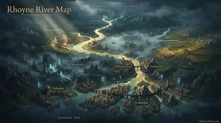
    ThroneAtlas • Visual Lore Atlas Rhoyne River Map The Rhoyne is one of Essos’s great river systems. It forms where the Upper Rhoyne and Little Rhoyne meet southeast of Ghoyan Drohe, then runs past the Noyne junction near Ny Sar, through Dagger Lake where the Qhoyne joins, south beyond the Golden Fields and the Sorrows,…

  • Qohor Map

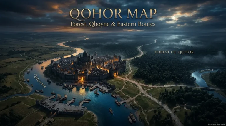
    ThroneAtlas • Visual Lore Atlas Qohor Map Qohor is the easternmost of the nine Free Cities, standing on the Qhoyne at the western edge of the immense Forest of Qohor. Its geography is unusually clear: river to the west and south, deep forest to the east and north, Norvos to the northwest, and the road…

  • Norvos Map

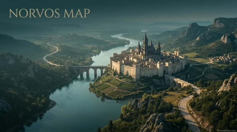
    ThroneAtlas • Visual Lore Atlas Norvos Map Norvos is an inland Free City in northwestern Essos, set among limestone hills on the eastern bank of the Noyne. Its position between Pentos and Qohor makes it a gateway city rather than a coastal trading port. The Noyne links Norvos southward to the Rhoyne, while Valyrian roads…

  • Lorath Map

    Lorath Map: Islands, Bay and Shivering Sea ThroneAtlas • Visual Lore Atlas Lorath Map Lorath is one of the northernmost Free Cities, located on islands in stormy waters at the mouth of Lorath Bay. The city occupies the western side of the largest of three principal islands, with Lorassyon as the second-largest and many smaller…

  • Jade Sea Map

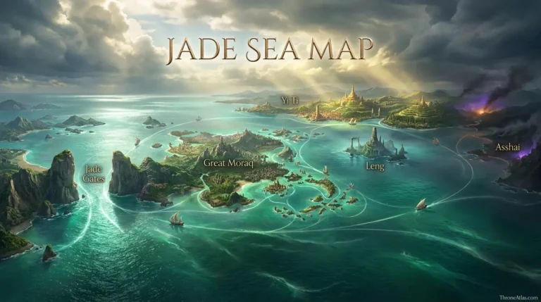
    ThroneAtlas • Visual Lore Atlas Jade Sea Map The Jade Sea lies in the Further East, east of the Summer Sea and south of Essos. The Jade Gates, Great Moraq and nearby straits form its western entrance; Yi Ti lines much of the northern shore; Leng and other islands fill the central and eastern waters;…

  • Caraxes Locations Map

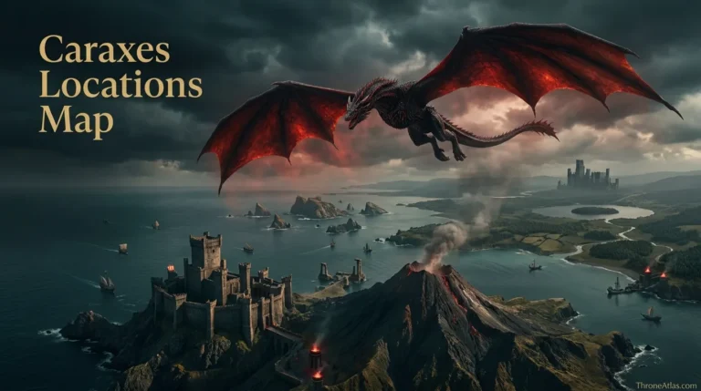
    ThroneAtlas • Visual Lore Atlas Caraxes Locations Map Caraxes, the Blood Wyrm, is best mapped as a sequence of strategic dragon bases rather than as a perfectly traceable flight path. His story connects Dragonstone, the Stepstones, the Free Cities, Harrenhal and finally the Gods Eye, where Daemon Targaryen and Caraxes fought Aemond and Vhagar. Earlier…

End of content

End of content