Last Hearth MapHouse Umber, Northern Frontier & Wall Approach
The North • House Umber • ThroneAtlas
Last Hearth is the seat of House Umber and one of the most northern noble strongholds, making it a frontier landmark between Winterfell, the Wall, wildling pressure, and the final movement of the dead in the northern war. This guide gives readers a complete Last Hearth map reference with route logic, house control, nearby landmarks, timeline context, and internal links to the wider atlas.
Last hearth map refers to Last Hearth is the seat of House Umber and one of the most northern noble strongholds, making it a frontier landmark between Winterfell, the Wall, wildling pressure, and the final movement of the dead in the northern war. The key map facts are simple: region — The North; associated power — House Umber; nearby connections — Winterfell, Castle Black, The Wall, Beyond the Wall, Dreadfort. Readers can use this page to move naturally between the main map, related house pages, character route pages, and nearby battle or lore guides.
Page Index
Last hearth map key facts
Use this section for quick scanning before the deeper atlas explanation begins.
Last Hearth Map visual reading
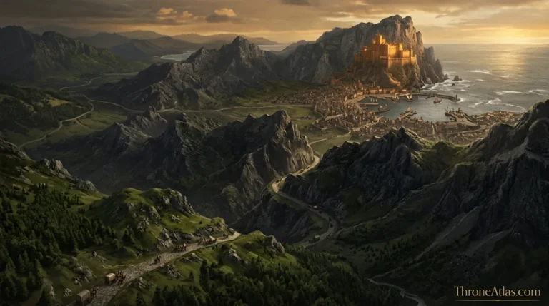
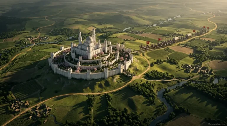
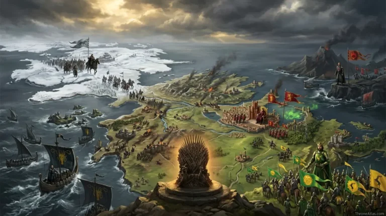
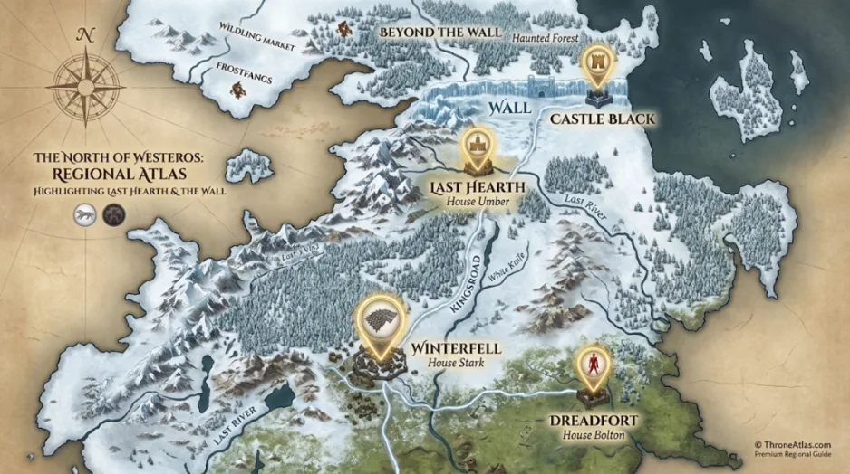
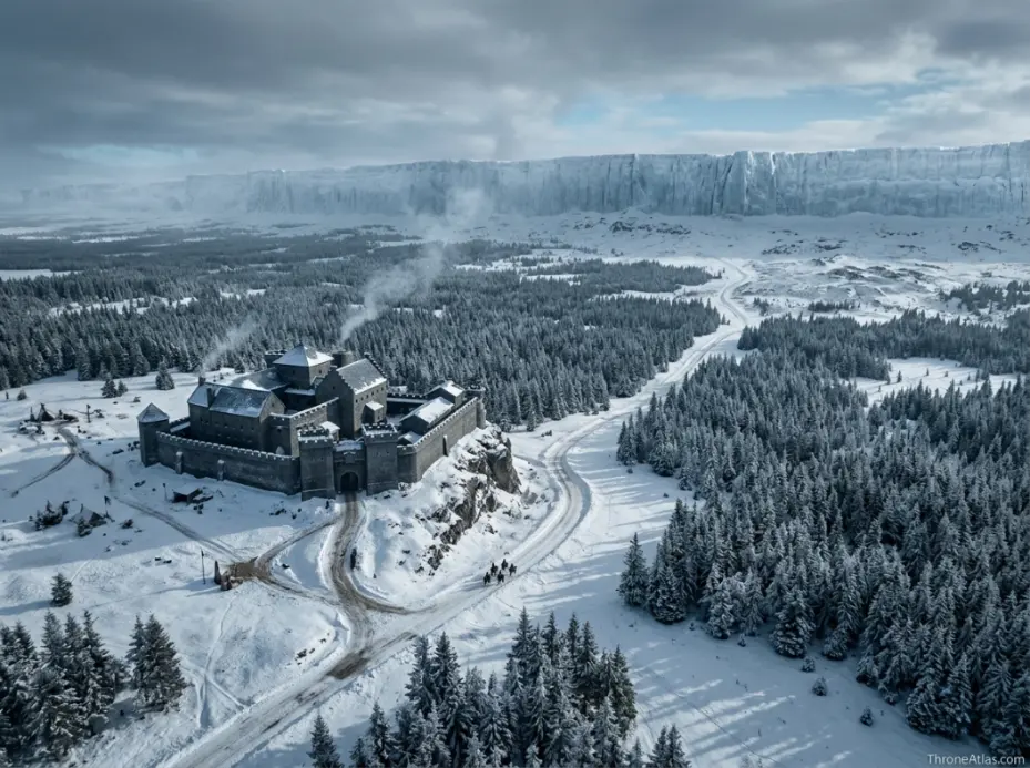
Use these map views to read the location through region, route pressure, and nearby powers before moving into the full atlas explanation.
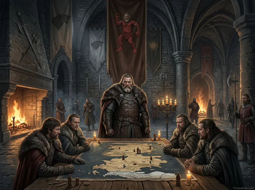
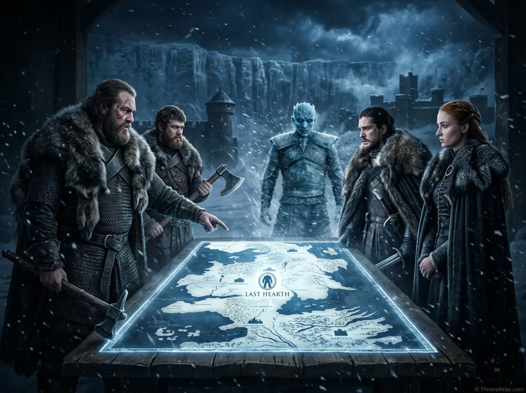
Map position and movement routes
Last hearth map becomes clearer when it is read through roads, sea lanes, nearby castles, and political pressure points.
The Last Hearth map is more than a single pin on a fantasy atlas. It is a geography page that explains how frontier geography, Umber loyalty, Wall approach routes, and the northern warning chain before the Long Night. When readers search for this location, they usually want a fast answer first: where it is, who controls it, what events happened nearby, and why it matters to the wider map of Westeros. This page is built around those questions, then expands into deeper lore so the location can support character journeys, house pages, battle maps, and future season or timeline hubs.
In the logic of Game of Thrones, location is power. A castle on a road can decide whether armies move freely. A port can change a kingdom’s access to food, ships, and information. A ruin can still dominate strategy if every practical route passes through it. The point of this guide is to connect the place to the surrounding network: roads, rivers, sea lanes, houses, nearby castles, and the moments when characters are forced to make decisions because the map leaves them with limited options.
Last Hearth: location, region, and map position
Last Hearth is the seat of House Umber and one of the most northern noble strongholds, making it a frontier landmark between Winterfell, the Wall, wildling pressure, and the final movement of the dead in the northern war.
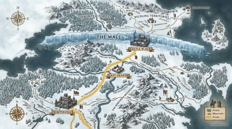
On a practical map, the first thing to understand is the relationship between Last Hearth and the places around it. Its region is The North, and its nearby geography includes Winterfell, Castle Black, The Wall, Beyond the Wall, Dreadfort. That surrounding geography shapes the story more than any isolated castle description. A reader who understands nearby roads, coastlines, passes, harbors, and rival seats can understand why the location becomes useful, dangerous, contested, or symbolic.
The terrain around this location can be summarized as Far northern lands, cold roads, forest edge, Wall approach, isolated stronghold. Those details matter because a map location is more than a name on a continent. Terrain, political ownership, nearby landmarks, travel routes, and story consequences all explain why the place becomes important. In other words, the map should answer not only where the place is, but why that position changes the story.
Why this location belongs in the ThroneAtlas map cluster
It marks how far noble power extends before the realm becomes Night’s Watch territory and then wildling lands beyond the Wall. This is exactly the kind of page that helps ThroneAtlas build map coverage. It creates an entity bridge between major pages and supporting pages. For example, a reader may enter through a famous page like Winterfell, King’s Landing, Dorne, or the Dance of the Dragons, then need this page to understand a narrower but highly relevant location. That is how a strong atlas becomes more useful than a loose list of map pages.
House control, political meaning, and character connections
The ruling or associated power is House Umber. That association gives the location its political identity. In Westeros, houses are not only family names; they are territorial systems. Their castles, vassals, roads, marriages, grudges, ports, and sworn swords all turn geography into influence. A map page is strongest when it shows that connection clearly instead of treating the place as a static landmark.
For readers, the most useful way to frame Last Hearth map is to connect its owner to its function. Does the location defend a border? Does it control a harbor? Does it project royal power? Does it sit on a disputed road? Does it explain why one character can move quickly while another is trapped? Those questions create a richer answer than a short encyclopedia description.
- Greatjon Umber
- Smalljon Umber
- Jon Snow
- Sansa Stark
- Night King
- Northern lords
These character connections also make the surrounding atlas easier to follow. Journey pages become more useful when they link to the places that shaped the journey. House pages become more useful when they link to the seats, routes, and battlefields where the house actually exercised influence. Location pages become stronger when they point back to the broader map cluster instead of standing alone.
Timeline: how Last Hearth fits into the larger story
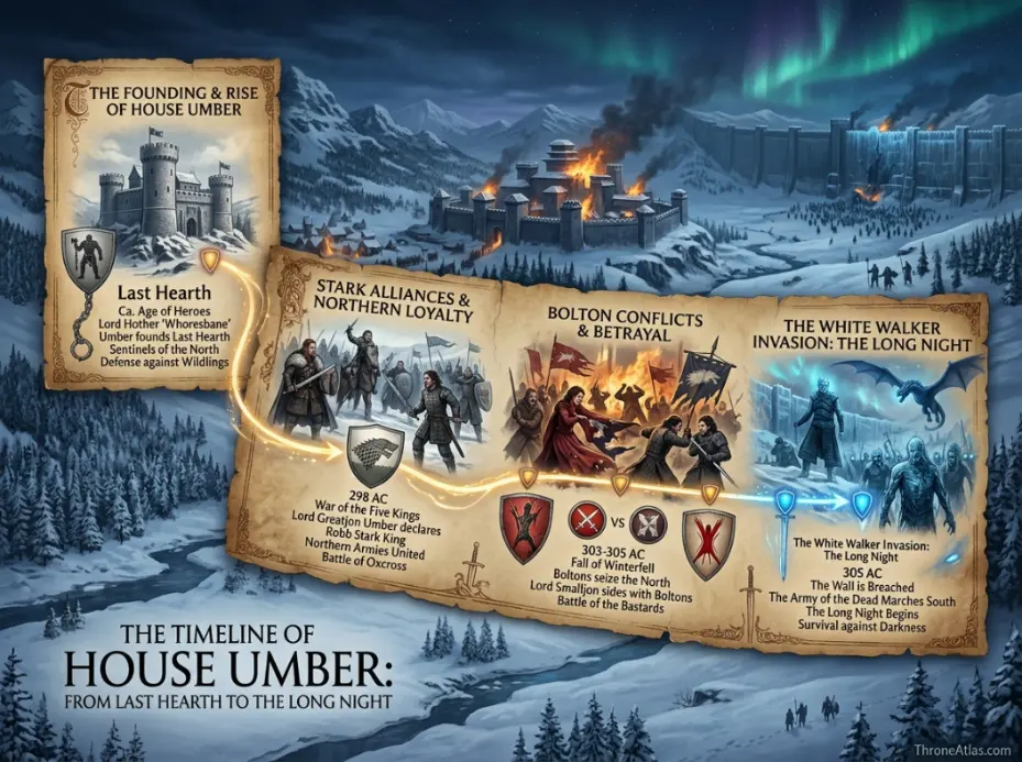
A strong atlas page should make chronology clear. Many readers do not only ask where a place is. They ask what happened there, when it mattered, and which later event it explains. The timeline below places the location in clean narrative order, showing what happened first, what changed control or strategy, and which later events it helps explain.
| Order | Map and story significance |
|---|---|
| 1 | House Umber holds Last Hearth as a northern frontier seat |
| 2 | The Umbers serve as major Stark bannermen in northern politics |
| 3 | War fractures northern loyalty under Bolton pressure |
| 4 | The final White Walker threat makes northern frontier castles strategically exposed |
The most important pattern is that the location gains meaning through repeated use. A place may begin as a house seat, then become a war base, then a route marker, then a symbol of loyalty, exile, defeat, or legitimacy. That layered use is why it deserves a dedicated page instead of a single sentence inside a larger map hub.
Routes, nearby places, and movement logic
Route logic is where this page becomes especially useful. A location may look simple when viewed alone, but its real function appears when it is connected to roads, sea lanes, marches, passes, and neighboring seats. For Last Hearth map, the most important route relationships are:
- Last Hearth to Winterfell road
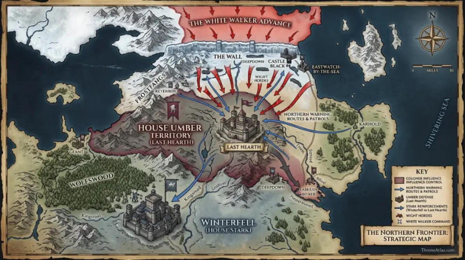
- Last Hearth to Castle Black and the Wall
- Northern warning routes during invasion
- Frontier travel from Umber lands toward wildling zones
These routes explain why characters do not move through Westeros randomly. Armies prefer roads and passes. Ships need ports, bays, and defensible landings. Messengers need a chain of castles or inns. Refugees and fugitives move differently from royal processions. This is why ThroneAtlas pages should always include route context: it helps readers understand the practical constraints that drive the story.
Book vs show geography notes
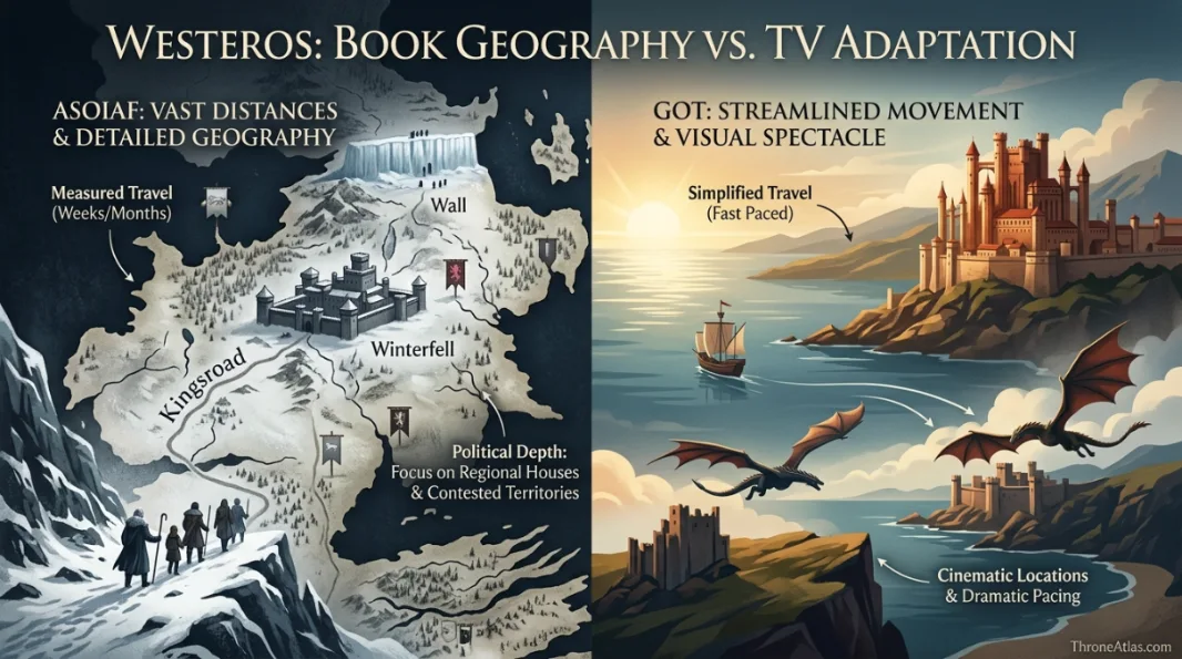
The show makes Last Hearth especially useful for visualizing the dead moving south. The books give House Umber more political depth as a northern bannerman house, making the location valuable for both character loyalty and frontier geography.
For a fan atlas, the best approach is to separate confirmed map function from visual adaptation. The show often compresses distance and simplifies travel because television pacing requires it. The books tend to make roads, weather, hunger, river crossings, and local politics feel slower and heavier. Both versions, however, rely on the same basic principle: geography creates limits. Those limits create choices. Those choices create drama.
This page therefore avoids treating the location as only a scenic backdrop. Instead, it reads the place as a working part of the political map. That makes it more useful for readers who want a clean answer and for anyone trying to understand the relationships between region, house, route, nearby location, character, conflict, and timeline.
Strategic reading: why the map changes the story
The strategic value of Last Hearth comes from the way it limits or enables movement. Some places are strong because they are hard to reach. Some are strong because they sit between two important destinations. Some are strong because they hold a port or road that everyone else needs. Some are strong because they carry symbolic weight far beyond their walls. In this case, the core value is clear: It marks how far noble power extends before the realm becomes Night’s Watch territory and then wildling lands beyond the Wall.
That strategic reading should shape the internal links on the page. The page should not only link upward to broad hubs. It should link sideways to nearby locations and forward to characters or battles that depend on the same geography. That is how a reader can move naturally through the site: from a location to a house, from a house to a battle, from a battle to a route, and from a route back to the complete map hub.
Direct map answer
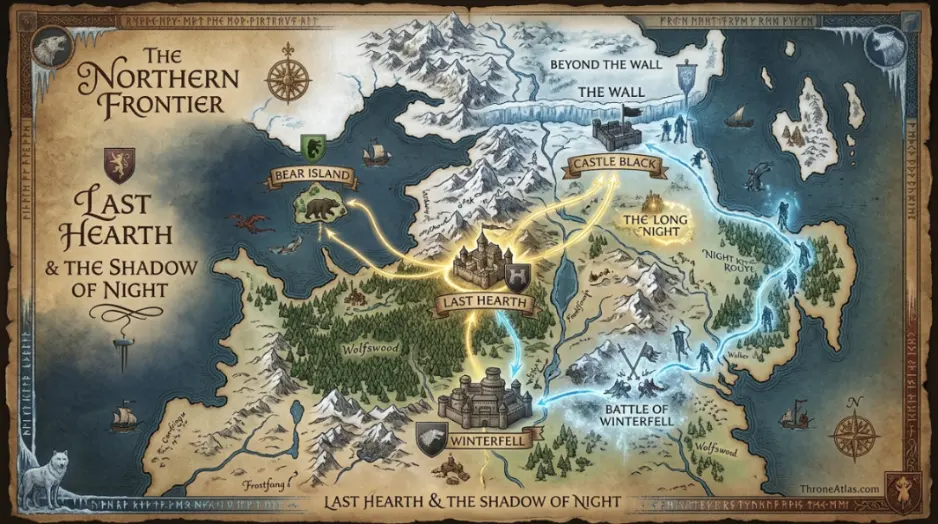
Last hearth map refers to Last Hearth is the seat of House Umber and one of the most northern noble strongholds, making it a frontier landmark between Winterfell, the Wall, wildling pressure, and the final movement of the dead in the northern war. Its main region is The North; its associated power is House Umber; and its most relevant nearby map connections are Winterfell, Castle Black, The Wall, Beyond the Wall, Dreadfort. For readers building a full Westeros understanding, this page should be read alongside the major map hub, nearby castle pages, the related house page, and any character journey that passes through the same region.
Connected characters and why they matter
Characters give a map emotional weight. Without them, a castle or route can feel like a static entry. With them, the same place becomes a decision point. The most relevant names for this page are Greatjon Umber, Smalljon Umber, Jon Snow, Sansa Stark, Night King, Northern lords. Each one helps explain a different layer of the location: family identity, military pressure, exile, loyalty, succession, betrayal, or survival.
Greatjon Umber
Greatjon Umber becomes more meaningful when the reader follows the surrounding routes, houses, and conflicts connected to Last Hearth.
Smalljon Umber
Smalljon Umber becomes more meaningful when the reader follows the surrounding routes, houses, and conflicts connected to Last Hearth.
Jon Snow
Jon Snow becomes more meaningful when the reader follows the surrounding routes, houses, and conflicts connected to Last Hearth.
For reading the atlas, these character connections should not be treated as decoration. They are the reason the page can support broader ThroneAtlas clusters. A reader who enters through a character journey should be able to reach this location. A reader who enters through this location should be able to move toward the relevant house, battle, route, or region. That clean movement is good UX and strong topical architecture.
How this location connects to the wider atlas
The best reading path for Last Hearth map is simple: start with the main maps hub, move sideways to nearby location and house pages, then continue into battle, route, or character pages that depend on the same geography. This keeps the page connected to the wider atlas and helps readers follow the story without jumping between unrelated entries.
Explore the full Westeros map
After reading this location, open the complete Westeros atlas to compare nearby regions, castles, roads, houses, and battle routes across the Seven Kingdoms.
Last hearth map questions
Clear answers to the most common reader questions about this location.
ThroneAtlas is an independent fan-made atlas and lore reference. It is not affiliated with HBO, Warner Bros., or George R. R. Martin. All names and references belong to their respective rights holders.