Jorah Mormont Journey MapBear Island, Essos, Meereen & Daenerys
Bear Island, Pentos, Dothraki Sea, Slaver’s Bay, Meereen, Winterfell · Exile route, Essos guard path, redemption arc
Jorah Mormont journey map — An exile-and-redemption atlas following Jorah from Bear Island disgrace through Essos, Slaver’s Bay, Meereen, and the final return to Winterfell.
The Jorah Mormont journey map follows Jorah Mormont through Bear Island, Pentos, Dothraki Sea, Slaver’s Bay, Meereen, Winterfell. It shows the main stops, political pressure, house connections, and turning points that make the route important to the wider ThroneAtlas map network.
Page Index
Jorah Mormont Journey Map at a Glance
Key route details before the full character map breakdown.
Jorah Mormont Journey Map: What the Route Really Shows
The Jorah Mormont journey map is more than a list of places visited by Jorah Mormont. It is a geographic reading of how power, loyalty, survival, ambition, and public reputation move across Westeros and Essos. A character route becomes useful when it explains why one place changes the next place. This page follows the route through Bear Island, Pentos, Dothraki Sea, Slaver’s Bay, Meereen, Winterfell, then connects those locations to nearby castles, houses, battles, and wider political pressure.
Jorah’s map starts with dishonor and ends with sacrifice. He is never simply a bodyguard; he is a displaced northern lord moving through foreign courts, horse roads, slave cities, and dragon politics.
The most important thing to understand is that Jorah Mormont does not move through neutral space. Every stop has a ruler, a road, a gate, a debt, a witness, a rumor, or a cost. The route therefore works like a map of consequences. A decision made in one hall may echo at a castle hundreds of leagues away. A meeting in a court can change a battlefield. A crossing, prison, feast, sermon, council room, or harbor can become the hinge of the route.
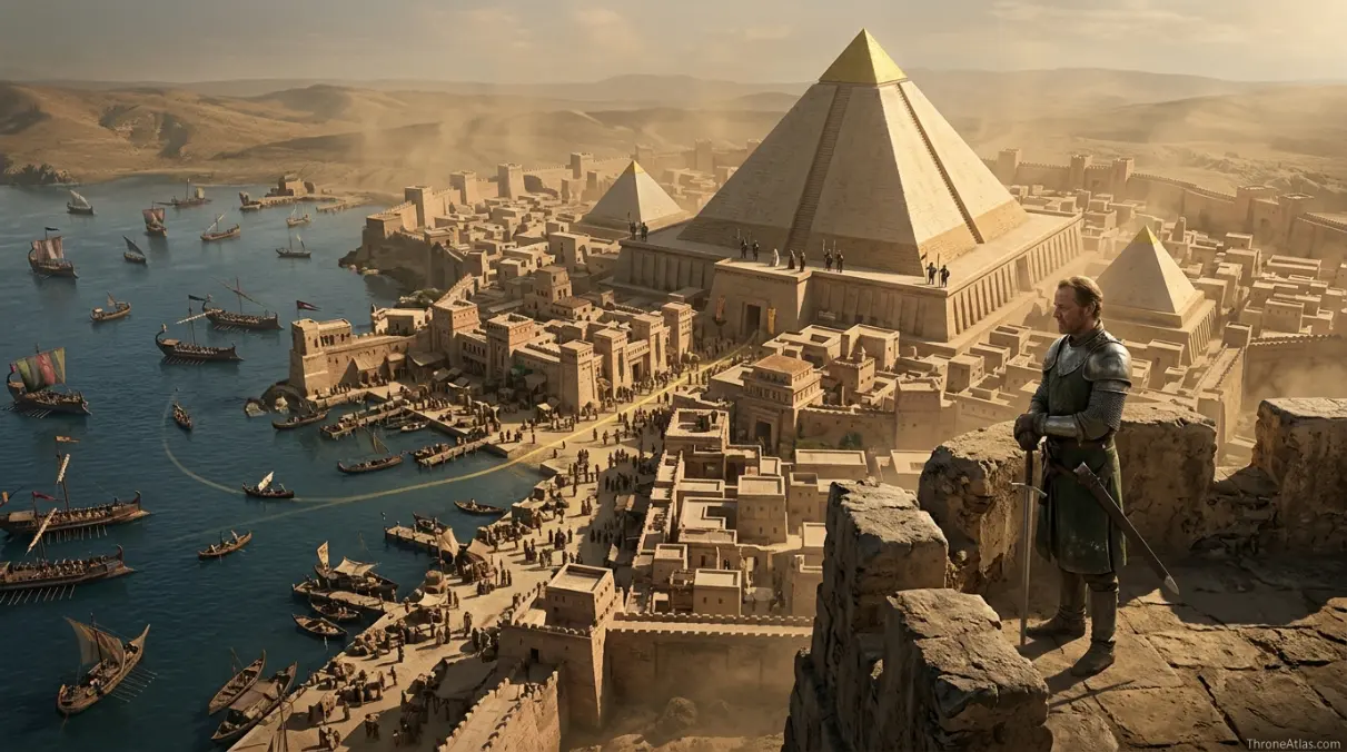
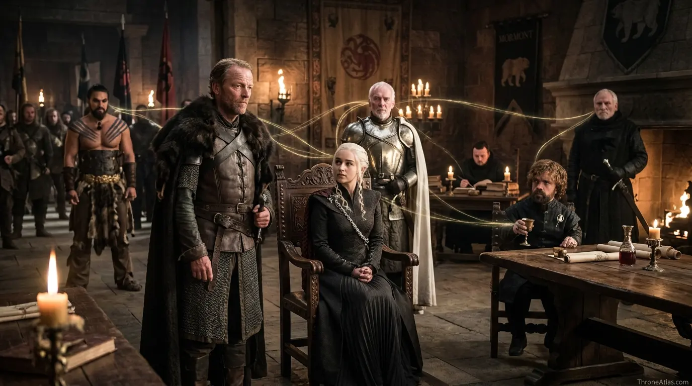
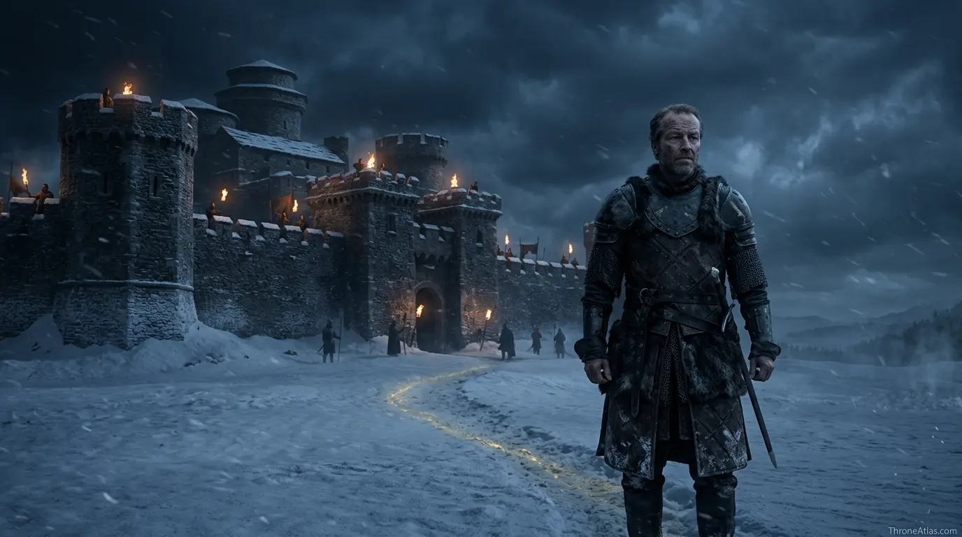
Visual Map Guide
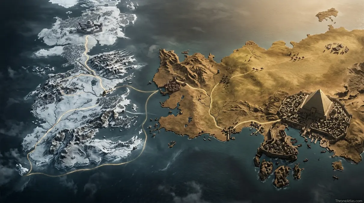
The visual guide below reduces the route to its clearest movement pattern. It is not meant to replace the full map; it shows the backbone of the journey so readers can understand the order of pressure. Start at the first stop, follow the curved route lines, and notice how each point changes the type of power available to Jorah Mormont.
A strong character map should answer four questions: where the character begins, which place changes the route, where the character gains or loses influence, and which location carries the consequence forward. For Jorah Mormont, those answers are tied to Bear Island, Pentos, Dothraki Sea, Meereen, and the later route only makes sense when those early map pressures are understood.
Journey Route and Location Logic
The route moves through Bear Island, Pentos, Dothraki Sea, Slaver’s Bay, Meereen, Winterfell, but the core map question is how each location changes what Jorah Mormont can do next. The map should be read as a sequence of access, danger, protection, and consequence.
- Bear Island: Lost Home — The Mormont seat gives Jorah identity and the shame that sends him away.
- Pentos: Exile Contact — Essos exile places him near Daenerys and Viserys at the beginning of their path.
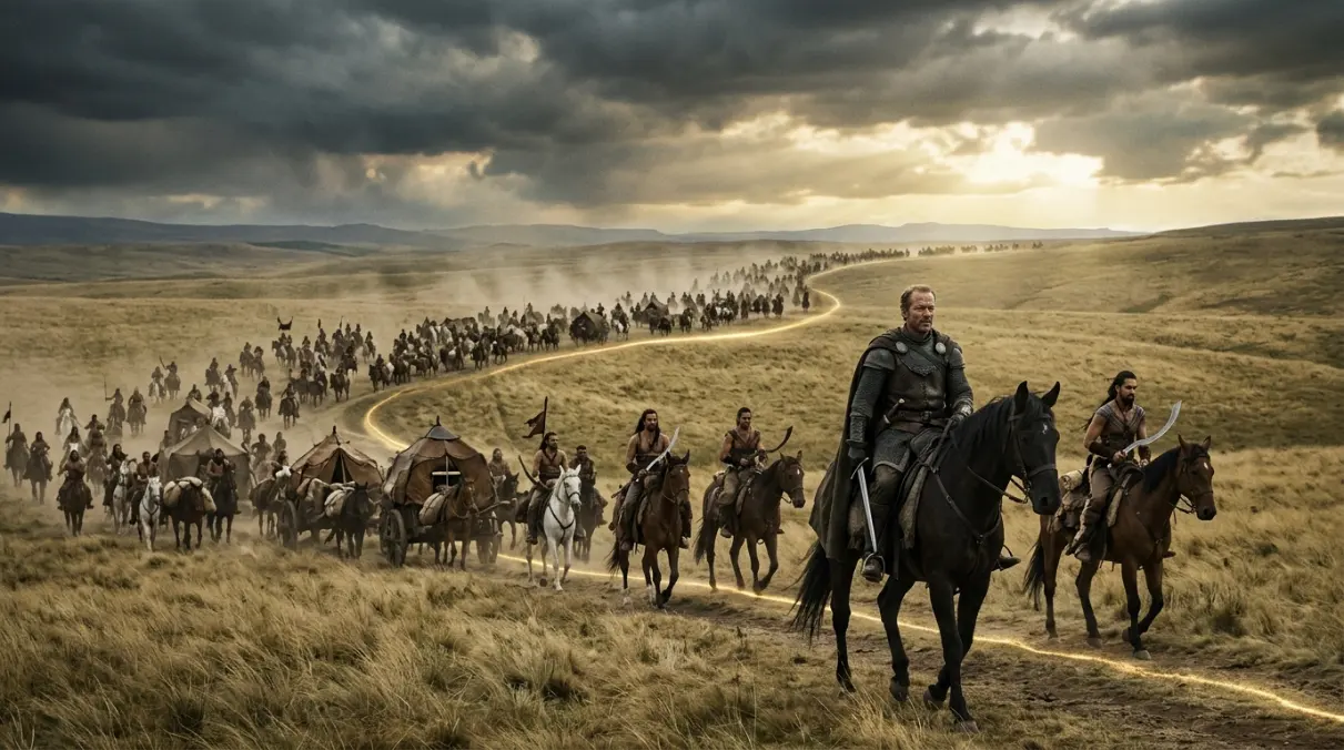
- Dothraki Sea: Loyalty Tested — The horse-road route turns him into protector, interpreter, and watcher.
- Meereen: Service and Banishment — The city becomes the place where loyalty, betrayal, and disease converge.
- Winterfell: Final Return — Jorah dies defending Daenerys during the Long Night, closing the exile circle in the North.
These stops also show why this page belongs beside the location and house maps instead of standing alone. A route page explains motion, but the nearby maps explain why the motion matters. The castle pages show local power. The battle pages show what the movement causes. The house pages show why certain doors open or close. Together, they turn the route into a readable atlas path.
Route Sequence and Turning Points
The sequence below breaks the route into map stages. A stage may be a physical journey, a political rise, a loss of protection, a public victory, a hidden maneuver, or a retreat into a new alliance. Reading the sequence this way prevents the page from becoming a simple biography. It keeps geography at the center.
| Stage | Route Event | Map Meaning |
|---|---|---|
| 1 | Jorah Mormont begins at Bear Island with the route identity that shapes later choices. | The opening stop explains the first map identity. |
| 2 | The path shifts at Pentos, where social position and map pressure become harder to separate. | The second stop expands the route beyond private story. |
| 3 | Dothraki Sea turns the route into a wider political or survival problem. | The middle stop adds pressure from houses, war, or institution. |
| 4 | Meereen changes the character’s available allies, risks, and public meaning. | The fourth stop changes the available choices. |
| 5 | Winterfell becomes the clearest destination or consequence point in the route. | The fifth stop makes the route readable as consequence. |
| 6 | The aftermath connects the route to nearby houses, battles, and later atlas pages. | The route remains important because connected pages continue the movement. |
Notice how the route changes whenever Jorah Mormont enters a new power environment. A northern castle, a royal capital, a free city, a river crossing, a war camp, a citadel, a harbor, or a sacred site all create different rules. Characters who survive the game do not only survive swords; they survive rooms, roads, courts, ships, and the political meaning attached to each place.
Power Network, Allies, and Rivals
A character map should identify the people around the route, because movement in Westeros rarely happens alone. Companions, patrons, informers, captors, rivals, sworn shields, advisors, priests, bankers, and family members all change the shape of the path. For this route, the strongest network figures are connected to access, trust, leverage, and regional pressure.
Daenerys Targaryen
Defines his route as protector, advisor, exile, and final shield.
Jeor Mormont
Connects Jorah’s lost honor to the Night’s Watch and northern duty.
Tyrion Lannister
Shares the Meereen route and complicates Jorah’s role near Daenerys.
Khal Drogo
Changes the early Essos map around Daenerys and Jorah.
Barristan Selmy
Competes with Jorah as honorable service made visible.
Samwell Tarly
Helps resolve the greyscale route and allows Jorah to return to war.
The network also explains why the same location can mean different things at different times. King’s Landing can be a court, a prison, a stage, or a trap. Dragonstone can be a refuge, a claim, or a launch point. The Wall can be exile, duty, prophecy, or survival. A good route map shows those changing meanings without flattening them into simple travel pins.
Houses, Claims, and Regional Stakes
The houses most connected to this page are House Mormont, House Targaryen, House Stark, Dothraki, Unsullied, Slaver Cities. Their presence matters because noble houses are territorial engines. They control castles, roads, armies, titles, marriages, food, ships, wards, prisoners, and the social meaning of loyalty. When Jorah Mormont moves near one of these houses, the map becomes political.
House Mormont
House Mormont shapes this page because its territory, claim, patronage, marriage tie, or rivalry changes how Jorah Mormont moves through the map.
House Targaryen
House Targaryen shapes this page because its territory, claim, patronage, marriage tie, or rivalry changes how Jorah Mormont moves through the map.
House Stark
House Stark shapes this page because its territory, claim, patronage, marriage tie, or rivalry changes how Jorah Mormont moves through the map.
Dothraki
Dothraki shapes this page because its territory, claim, patronage, marriage tie, or rivalry changes how Jorah Mormont moves through the map.
Unsullied
Unsullied shapes this page because its territory, claim, patronage, marriage tie, or rivalry changes how Jorah Mormont moves through the map.
Slaver Cities
Slaver Cities shapes this page because its territory, claim, patronage, marriage tie, or rivalry changes how Jorah Mormont moves through the map.
The house network around Jorah Mormont shows how territory, marriage, birth, vows, office, and rivalry shape movement. House Mormont provides one of the strongest anchors, while House Targaryen and House Stark explain how the route crosses into wider politics.
Major Turning Points on the Map
The turning points in this route are not only dramatic scenes. They are changes in access. A gate opens, a title is granted, a ruler dies, a secret becomes dangerous, a ship leaves port, a battle redirects loyalty, or a powerful person loses the protection of place. That is why maps are so useful for character pages: they show when the world around the character changes shape.
The major turning points happen when Jorah Mormont changes access: leaving one protected space, entering a stronger court or institution, gaining a new patron, losing safety, or carrying knowledge into a new region. That is why the route should be mapped by pressure, not distance alone.
For readers building a mental map, the important move is to connect each turning point to a location. Once the event is tied to a place, the wider network becomes easier to follow. The route can then be compared with nearby battle maps, house maps, and castle pages.
Book and Show Map Notes
The book and show versions may give different weight to certain stops, but the stable atlas anchors remain Bear Island, Pentos, Dothraki Sea, Meereen. A careful map keeps those anchors visible while leaving room for version differences.
The atlas approach keeps those differences clear by focusing on stable location logic: which places are essential to the route, which places are emphasized differently, and which movements change the reader’s understanding of power. That method lets book readers and show viewers share the same map without pretending every version uses the same pacing.
Common Map Mistakes
Common mistakes usually happen when a reader remembers a famous quote, a single scene, or a final title and forgets the route that made it possible. The points below help keep the map accurate when adding image captions, building route diagrams, or linking this page to nearby atlas entries.
- Treating Jorah Mormont as a single-location character and ignoring the route pressure between stops.
- Remembering one famous scene while forgetting the castle, road, court, or region that made it possible.
- Linking only to character pages and missing the nearby houses, battles, and location maps that complete the route.
A reliable route map should make these mistakes harder to repeat. It should show beginning, pressure, turning point, and consequence in one readable path. That is the difference between a decorative map and a useful ThroneAtlas route guide.
Cartographer Reading Notes
The best way to read this page is to separate movement into three layers. The first layer is physical geography: roads, seas, castles, gates, districts, rivers, islands, camps, and borders. The second layer is political geography: who controls those places and what the character can or cannot do there. The third layer is memory: how later characters remember that movement and use it to judge loyalty, guilt, claim, wisdom, or betrayal.
For Jorah Mormont, all three layers matter. The physical route explains the visible journey. The political route explains which doors open or close. The memory route explains why the character remains important after leaving a place. That is why this guide includes both route sequence and network analysis.
When final page images are selected, the best visual set should include one wide route map, one close-up of the most important castle or city, one symbolic image for the character’s power shift, and one related-location image that sends readers deeper into the atlas. This gives the page visual clarity without repeating the same scene.
The final test is simple: after reading this page, a visitor should be able to explain where Jorah Mormont begins, which location changes the route, which houses shape the choices, and which page to open next. If those four answers are clear, the map is doing real atlas work.
Location Deepening: How to Read Each Stop
A high-value route page should never treat a stop as a dot with a label. A stop has at least four layers: the visible place, the authority that controls it, the emotional pressure attached to it, and the consequence that leaves with the character. This is especially important for Jorah Mormont, because the route is shaped by changing access. The same road can feel like escape in one chapter and duty in another. The same castle can be a sanctuary, a prison, a court, or a battlefield depending on who controls the gate.
The first layer is the visible place. This includes the castle, road, harbor, district, island, camp, field, or institution a reader can identify on a map. The second layer is authority: who has guards, ravens, ships, coin, oaths, food, or legal command in that place. The third layer is emotional pressure, because characters do not arrive as empty travelers. They bring fear, debt, ambition, love, grief, shame, faith, or loyalty. The fourth layer is consequence, which is the reason the route continues after the scene ends.
For Jorah Mormont Journey Map, the most useful reading is to follow those four layers in order. Begin with the physical stop. Ask who controls it. Ask what Jorah Mormont needs there. Then ask what changes after departure. If nothing changes, the stop is decorative. If a title, secret, alliance, grief, rescue, betrayal, or public image leaves with the character, the stop belongs on the main route.
This method also helps separate major route anchors from minor travel references. A map can include many places, but the article should prioritize locations that change the route. That keeps the page focused and prevents the reader from getting lost in every possible movement. The aim is not to list every road; the aim is to show the places that explain the character’s power.
Best Reading Path After This Page
After finishing this route, the strongest next step is to open one location page, one house page, one battle or event page, and one related character route. That four-page path gives the reader a complete atlas loop. The location page explains ground. The house page explains authority. The battle or event page explains conflict. The related route explains how another character experiences the same map from a different angle.
For Jorah Mormont, the route is especially useful when compared with the people listed in the power network section. Allies and rivals often pass through the same regions but read them differently. One person may see King’s Landing as opportunity while another sees danger. One person may see the Wall as exile while another sees duty. Comparing those readings makes the wider ThroneAtlas structure stronger because it turns separate pages into a shared geography.
The page also works as a bridge for readers who arrive from search, social posts, Pinterest images, or a direct map query. A visitor may only want to know where the route goes, but the guide should gently show why the route matters. That is why the quick answer, fast facts, route board, image captions, network cards, and related links all point toward the same goal: clearer map understanding.
When the page is published with final artwork, image captions should stay specific. A useful caption names the route, the place, and the reason the image matters. A weak caption only repeats the title. For this page, the best image set should help readers understand sequence: beginning, pressure, turning point, consequence, and next route.
That final image strategy matters because ThroneAtlas is a map-first site. Readers come for place clarity, not just lore retelling. The content should therefore reward scanning, support deep reading, and make every internal link feel like a sensible next step in the atlas.
Follow the Wider Character Map
Use these related maps to move from this route into nearby locations, houses, battles, and lore paths.
Houses & Power
More Atlas Paths
Jorah Mormont Journey Map Questions
Clear answers to common reader questions about the character route, key locations, and connected houses.
The Jorah Mormont journey map follows Jorah Mormont through Bear Island, Pentos, Dothraki Sea, Slaver’s Bay, Meereen, Winterfell, showing the places, alliances, reversals, and power centers that define the route.
Jorah matters because his route turns exile into service, and his loyalty to Daenerys becomes a moving bridge between northern identity and Essos politics.
The most important stops are Bear Island, Pentos, Dothraki Sea, Meereen, Winterfell. Each stop changes the route from travel into political meaning.
The strongest house links are House Mormont, House Targaryen, House Stark, Dothraki, Unsullied, Slaver Cities. These houses explain why the route affects more than one region.
The exact emphasis can differ, but the essential route anchors stay clear across the story tradition.
Treating Jorah Mormont as a single-location character and ignoring the route pressure between stops.
Explore the Full Westeros Route Atlas
Place this character route beside the main map hub, related locations, house pages, and battle maps to follow how movement turns into power across the realm.
ThroneAtlas is an independent fan-made atlas resource. It is not affiliated with HBO, Warner Bros., or George R. R. Martin. All names and references are used for commentary, research, and educational fan mapping.