
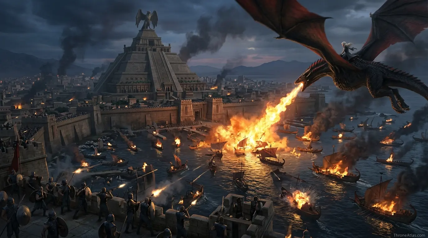
King’s Landing to Meereen Distance, Sailing Time and Daenerys’ Voyage West
Ship · Dragon · Narrow Sea · Slaver's Bay
Meereen lies on the far side of the known world from King’s Landing. Here is how far the voyage is, how long it takes and why Daenerys needed a fleet to make it.
Meereen is about 2,700 miles from King’s Landing in a straight line. By sea, around the southern coast of Essos, the voyage is roughly 3,500 miles and takes about five weeks under sail. A dragon would need about 45 hours of flight.
Distance & Travel Time
The essentials at a glance before the full breakdown.
How far is Meereen from King’s Landing?
Meereen stands on Slaver’s Bay in south-eastern Essos, about 2,704 miles from King’s Landing. There is no practical overland route, so the real journey is by sea: down the Narrow Sea, past the Stepstones and Lys, along the southern coast of Essos and around the ruins of Valyria into Slaver’s Bay.
Sailors in the books avoid the Smoking Sea around Valyria, which adds distance. ThroneAtlas estimates the sea route at roughly 3,500 miles.
| Method | Distance | Time |
|---|---|---|
| Sailing fleet | ≈ 3,515 mi | ≈ 35 days |
| Dragon | ≈ 2,704 mi | ≈ 45 flying hours |
| Road | — | No practical land route |
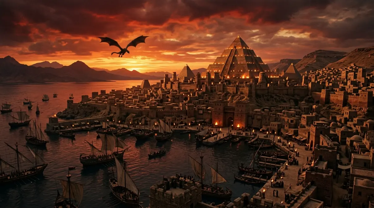
Who made this journey
Tyrion and Varys travel from Pentos toward Meereen in Season 5, taking the Rhoyne and the old Valyrian road through Volantis before Jorah brings Tyrion the rest of the way. In Season 6 Daenerys finally sails west with Greyjoy ships and a Dothraki and Unsullied army, landing at Dragonstone at the start of Season 7.
Follow the full route on the Daenerys Targaryen journey map and Tyrion Lannister journey map.
How ThroneAtlas calculates distances
Every location on ThroneAtlas sits on one grid scaled to the 300-mile Wall, the only firm measurement in the books. Road distance adds 15% to the straight line for bends, fords and hills; sea routes add 30% for coastlines and capes.
Speeds are realistic medieval averages: about 40 miles a day for a lone rider, 15 for an army with baggage, 100 for a sailing ship and an estimated 60 miles an hour for a grown dragon. Treat the results as fan estimates for comparing routes, not official figures.
The Sea Route from Meereen to Westeros
King's Landing to Meereen: Questions
About 2,700 miles in a straight line and about 3,500 miles by sea.
About five weeks for a sailing fleet, based on 100 miles a day.
About 45 hours of flight at 60 mph, so several days with rests.
West along the southern coast of Essos, around Valyria, past Lys and the Stepstones and up the Narrow Sea.
At Dragonstone, the ancestral Targaryen seat at the mouth of Blackwater Bay.
ThroneAtlas is an independent fan-made atlas and lore reference. It is not affiliated with HBO, Warner Bros. Discovery or George R. R. Martin. Map artwork is original ThroneAtlas illustration.