How Big Is Westeros? Size in Miles, Explained with Maps
Length · Width · Regions · Travel Times · Real-World Scale
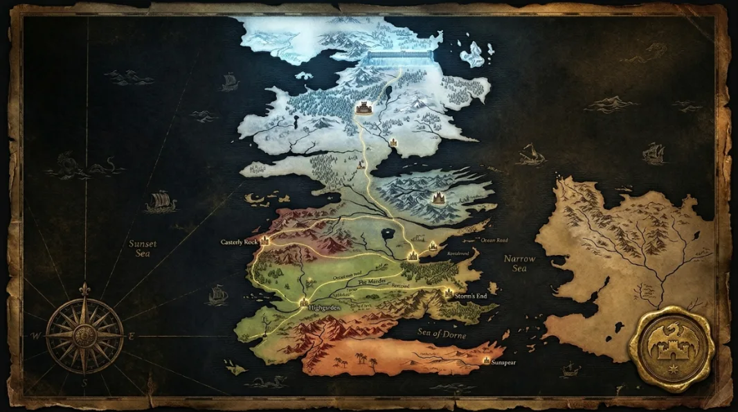
Scaled from the 300-mile Wall, Westeros stretches roughly 3,000 miles from the Wall to the southern coast of Dorne. Here is how big each region is, how long it takes to cross, and how it compares to real places.
Westeros is roughly 3,000 miles long from the Wall to the southern coast of Dorne, based on the Wall’s canon length of 300 miles. The North alone is about as big as the other six kingdoms combined. Riding the Kingsroad from King’s Landing to Winterfell, about 1,560 miles, takes a lone rider over a month.
Westeros by the Numbers
The essentials at a glance before the full breakdown.
How big is Westeros in miles?
Westeros has no official scale bar, but it does have one fixed measurement: the Wall is 300 miles long. Measuring the rest of the continent against it gives roughly 3,000 miles from the Wall down to the southern coast of Dorne, and around 1,000 miles at its widest across the south.
George R. R. Martin has also said in interviews that Westeros is roughly the size of South America. Fans have long pointed out that this does not quite match the Wall-based scale, so ThroneAtlas uses the Wall because it comes straight from the books and keeps distances consistent.
Either way, Westeros is enormous. It is a continent of many climates, from the frozen far north to the deserts of Dorne, not a small island kingdom.
How big is each region?
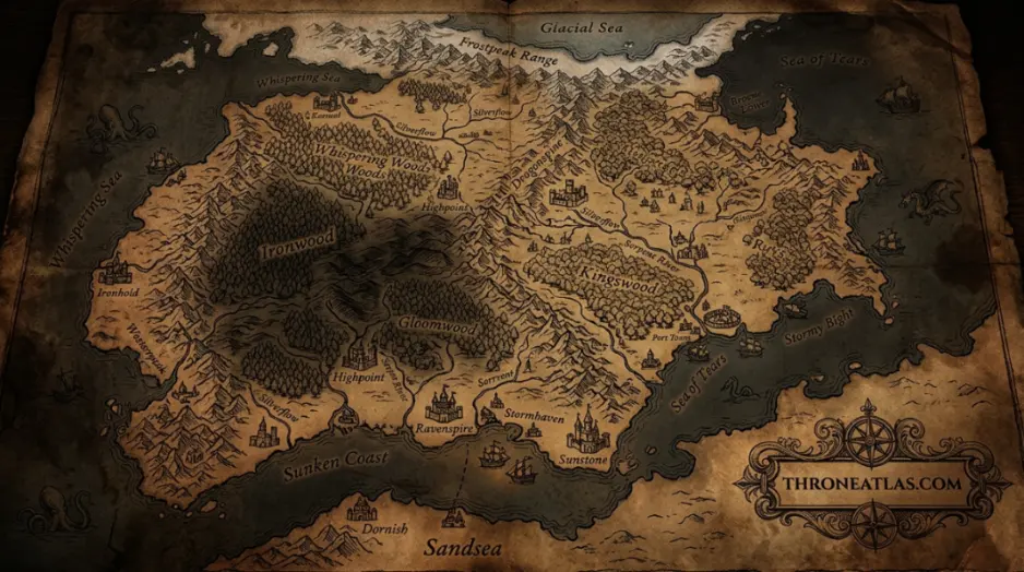
The Seven Kingdoms are wildly uneven in size. The North is the giant, the Crownlands are small but rich, and Dorne is long and narrow behind its mountains. The table uses ThroneAtlas map estimates.
| Region | Rough size on the map | Seat |
|---|---|---|
| The North | ≈ 1,000 miles north to south; as big as the other kingdoms combined | Winterfell |
| The Riverlands | ≈ 400 miles across, cut by the Trident | Riverrun |
| The Vale | Mountain valleys and the Fingers on the east coast | The Eyrie |
| The Westerlands | Compact, hilly and rich in gold | Casterly Rock |
| The Crownlands | Small region around Blackwater Bay | King’s Landing |
| The Reach | Largest fertile region in the south | Highgarden |
| The Stormlands | Forested south-east coast | Storm’s End |
| Dorne | ≈ 900 miles east to west below the Red Mountains | Sunspear |
How long does it take to cross Westeros?
Distance only means something when you think about travel. A lone rider covers about 40 miles a day, a marching army about 15, and a sailing ship about 100. That is why the War of the Five Kings moves at a crawl and why ravens matter so much.
From Winterfell to King’s Landing is about 1,560 miles by the Kingsroad: roughly 39 days for a rider and more than 100 days for an army. Crossing the whole continent from the Wall to Sunspear on horseback takes the better part of three months.
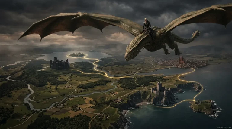
Dragons change everything. At an estimated 60 miles an hour, a dragon covers the Wall-to-Dorne distance in about two days of flying, which is why Aegon the Conqueror could take the realm so quickly. Try any route in the Westeros Distance Calculator.
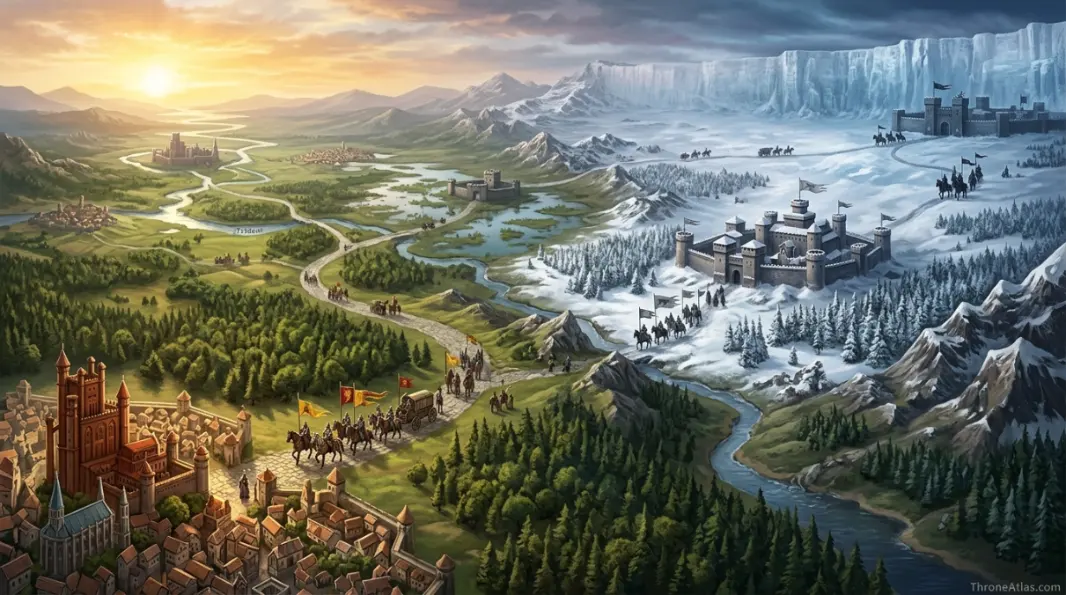
Why the North is so big
In A Game of Thrones the North is described as being as large as the other six kingdoms combined. On the map it runs from Moat Cailin and the Neck all the way to the Wall, about 1,000 miles, yet it holds far fewer people than the Reach or the Riverlands.
That size is why the Starks are so hard to conquer and so slow to rally. When Robb Stark calls his banners in Season 1, lords such as the Umbers of Last Hearth and the Mormonts of Bear Island have hundreds of miles to cover before the host can march south.
Westeros compared to the real world
At about 3,000 miles long, Westeros is roughly the distance from New York to Los Angeles, or from Lisbon to Moscow. The United Kingdom, often called its inspiration, is only about 600 miles from top to bottom.
The shape of Westeros borrows from Britain and Ireland, but the scale is closer to a continent such as Europe. Our guide on Westeros vs Essos shows how even this giant landmass is dwarfed by the continent to the east.
Size Shapes the Story
Slow wars
Armies need months to cross a region, so campaigns like Robb Stark’s turn on surprise marches and river crossings.
Ravens rule
With riders taking weeks, ravens are the only fast communication, which is why the Citadel and its maesters hold quiet power.
Dragons win
A dragon shrinks a month-long ride into a day. Every Targaryen victory on the map comes from that advantage.
Westeros Size: Questions
About 3,000 miles from the Wall to the south coast of Dorne, using the Wall’s canon length of 300 miles as the scale.
Yes, by far. The UK is about 600 miles long; Westeros is roughly five times longer.
The North, which is about as large as the other six kingdoms combined.
A lone rider needs roughly three months from the Wall to Dorne; a dragon could do it in about two days of flying.
He has compared it to South America in interviews, but the only measurement in the books is the 300-mile Wall.
ThroneAtlas is an independent fan-made atlas and lore reference. It is not affiliated with HBO, Warner Bros. Discovery or George R. R. Martin. Map artwork is original ThroneAtlas illustration.