Narrow Sea Map Westeros to Braavos, Pentos and Lys
Crossings · Islands · Stepstones · Famous Voyages
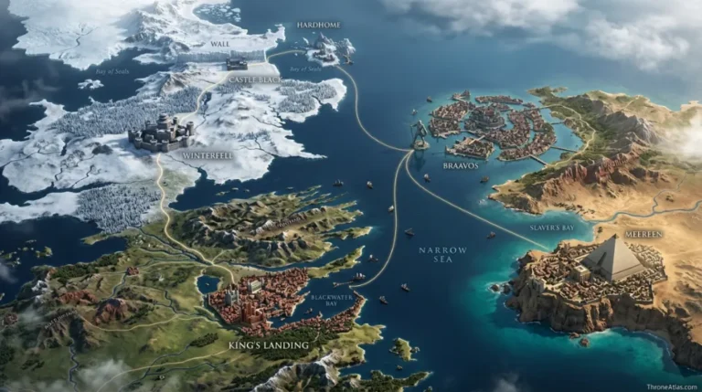
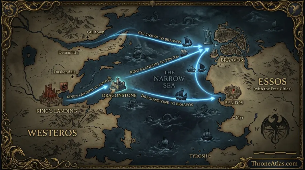
The Narrow Sea is the strip of water between Westeros and the Free Cities of Essos. This map shows how wide it is, the main crossings, the islands that control it and the voyages that changed the story.
The Narrow Sea separates the east coast of Westeros from the Free Cities of Essos. It is roughly 300 to 700 miles wide depending on the crossing, runs from the Bite and Braavos in the north to the Stepstones in the south, and links King’s Landing, Dragonstone and Gulltown with Braavos, Pentos, Myr, Tyrosh and Lys.
The Narrow Sea at a Glance
The essentials at a glance before the full breakdown.
Where is the Narrow Sea?
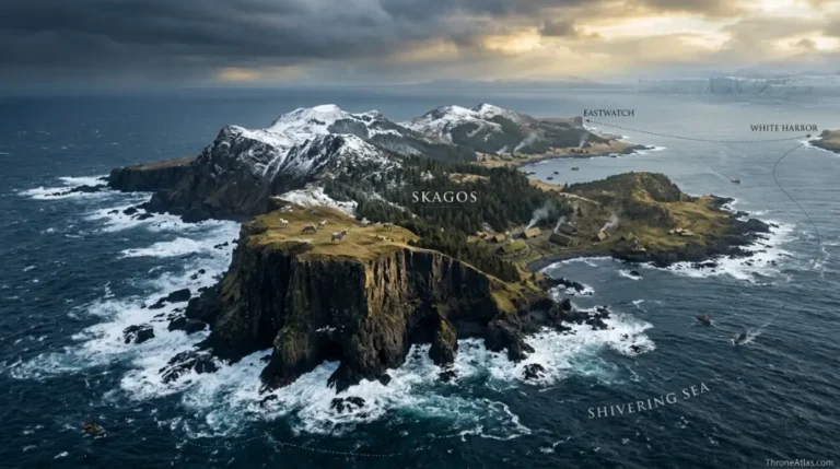
The Narrow Sea is the channel of water east of Westeros. Its northern end opens into the Bite, the bay between the North and the Vale, and the Shivering Sea beyond. Its southern end narrows at the Stepstones, the broken island chain between the tip of Dorne and the Disputed Lands of Essos, before opening into the Summer Sea.
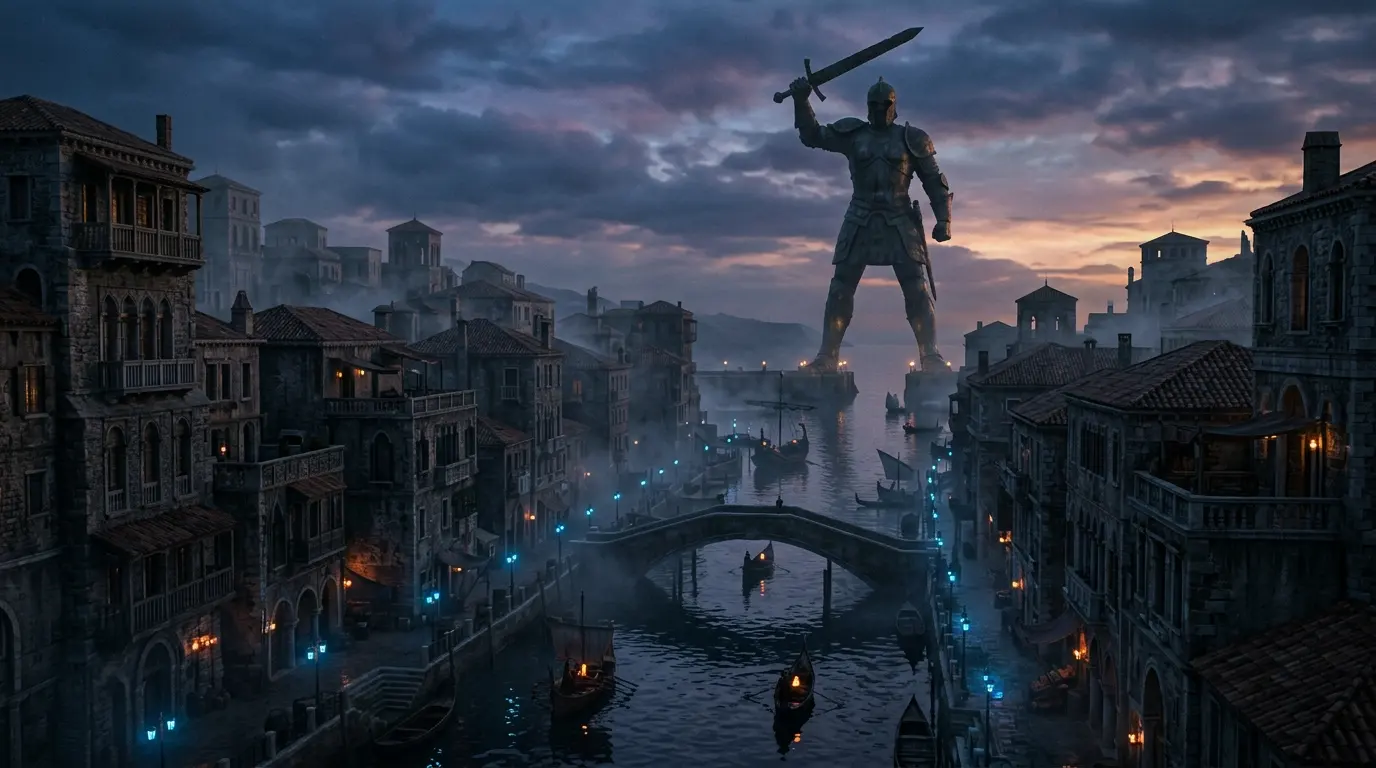
On the Westerosi side it washes the Vale, the Crownlands and the Stormlands, including Blackwater Bay and the islands of Dragonstone, Driftmark and Tarth. On the Essos side it reaches the Free Cities of Braavos, Pentos, Myr, Tyrosh and Lys.
How wide is the Narrow Sea?
The books never give an exact width, but scaled from the 300-mile Wall, the main crossings run from roughly 300 to 700 miles. A sailing ship making 100 miles a day crosses in about three days to a week.
| Crossing | ThroneAtlas estimate | Sailing time |
|---|---|---|
| Gulltown → Braavos | ≈ 640 mi straight | ≈ 8 days |
| King’s Landing → Dragonstone | ≈ 206 mi | ≈ 3 days |
| King’s Landing → Pentos | ≈ 700 mi straight | ≈ 9 days |
| Storm’s End → Tyrosh | Short southern crossing | ≈ 4–5 days |
The islands that control the Narrow Sea
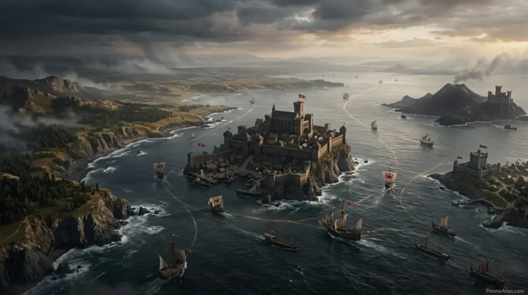
Whoever holds the islands controls the trade. House Velaryon of Driftmark built its fortune and fleet on Narrow Sea shipping, which is why the Sea Snake’s voyages and the Velaryon navy matter so much in House of the Dragon. Dragonstone, the Targaryen seat, sits beside it guarding the mouth of Blackwater Bay.
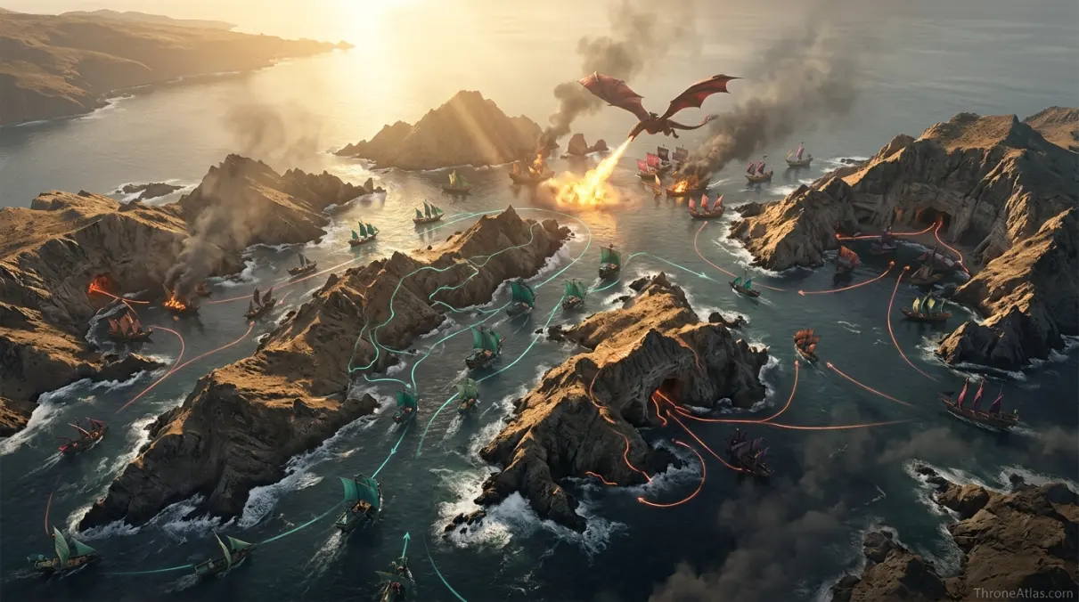
Further south, the Stepstones are a nest of pirates and sellswords. In House of the Dragon Season 1, Daemon Targaryen and Corlys Velaryon fight the Crabfeeder there to keep the sea lanes open; see the Battle of the Stepstones map.
Famous voyages across the Narrow Sea
After Robert’s Rebellion, the infant Daenerys and her brother Viserys were carried across to the Free Cities, and Daenerys’ story in Essos starts in Pentos. Arya Stark sails from Saltpans to Braavos aboard a Braavosi ship to train with the Faceless Men.
The biggest crossing comes at the end of Season 6, when Daenerys leaves Essos with her army and fleet and lands on Dragonstone. Follow it on the Daenerys journey map or check the King’s Landing to Meereen distance.
Why the Narrow Sea Matters
Trade highway
Braavosi, Lyseni and Velaryon ships carry wine, spice, silk and gold between the continents.
Exile route
Every Westerosi exile, from the Targaryen children to Jorah Mormont, crosses it to reach Essos.
Naval war
The Velaryon fleet, the Triarchy and the Iron Bank’s loans all turn on control of these waters.
Narrow Sea: Questions
The body of water between the east coast of Westeros and the Free Cities of Essos.
Roughly 300 to 700 miles depending on the crossing, based on ThroneAtlas estimates scaled from the Wall.
Braavos, Pentos, Myr, Tyrosh and Lys face Westeros across the Narrow Sea.
A chain of rocky islands at the southern end of the Narrow Sea, between Dorne and the Disputed Lands.
From about three days to a week by sailing ship, depending on the route.
Primary Links
ThroneAtlas is an independent fan-made atlas and lore reference. It is not affiliated with HBO, Warner Bros. Discovery or George R. R. Martin. Map artwork is original ThroneAtlas illustration.