Westeros vs Essos Size, Geography, Cultures and Power Compared
Size · Climate · Cities · Religion · Dragons
Westeros is one continent under one throne; Essos is a far larger landmass of free cities, horse lords, slaver cities and ancient ruins. This side-by-side guide shows how the two continents differ and how the Narrow Sea links them.
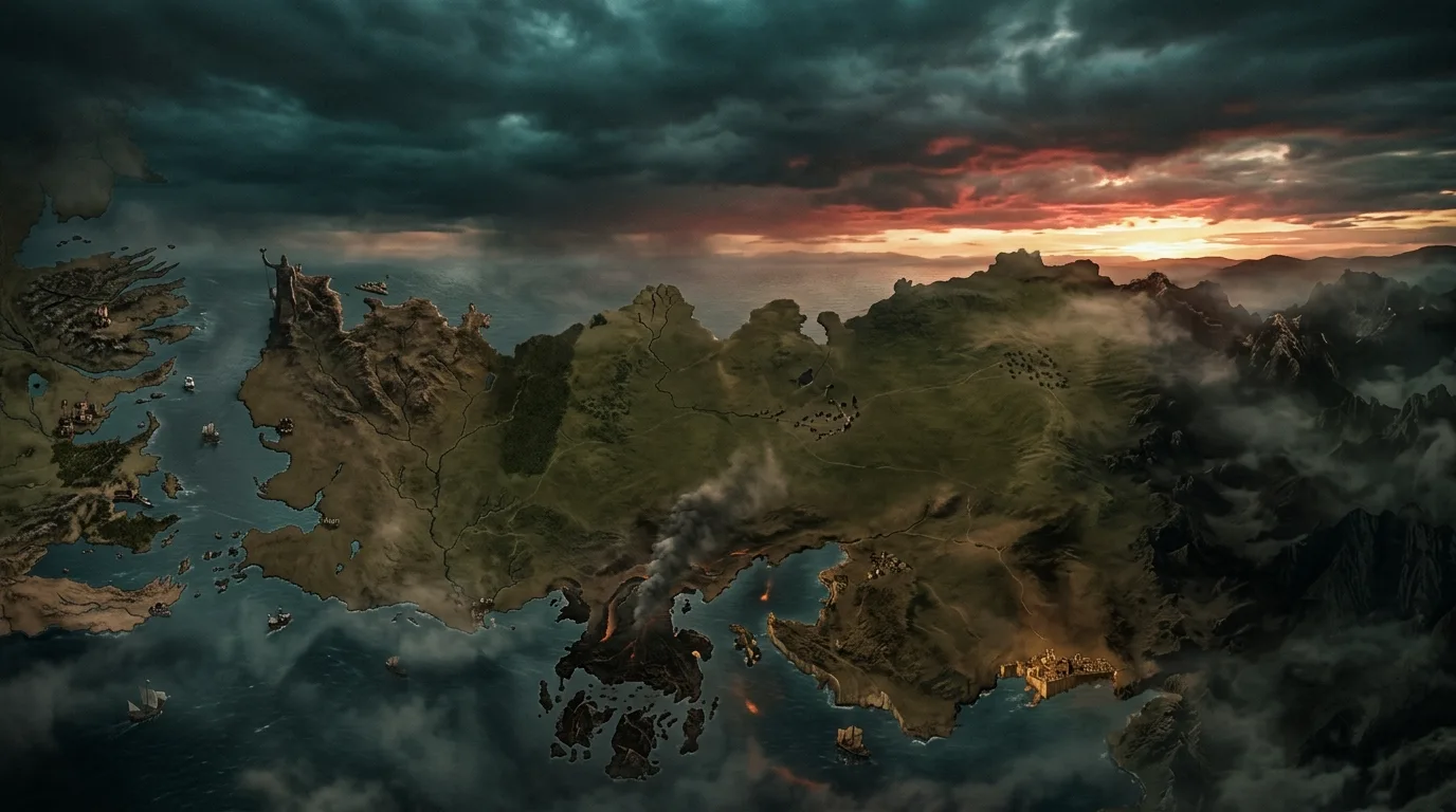
Essos is much bigger than Westeros. Westeros is a single continent of about 3,000 miles ruled from the Iron Throne, while Essos stretches thousands of miles further east, from the Free Cities across the Dothraki Sea to Slaver’s Bay, Qarth and Asshai. The Narrow Sea separates them, and the dragons that conquered Westeros came from Valyria in Essos.
Westeros vs Essos at a Glance
The essentials at a glance before the full breakdown.
Which is bigger, Westeros or Essos?
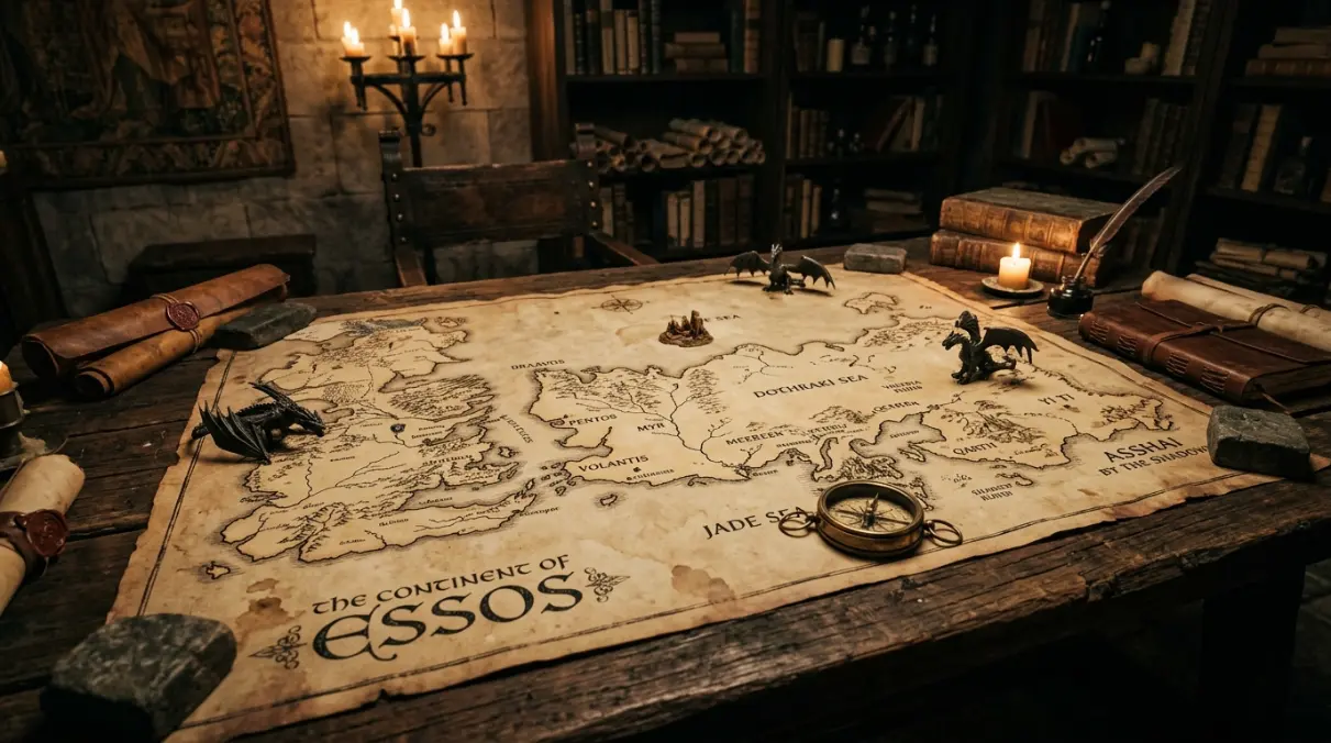
Essos is far larger. Westeros runs about 3,000 miles from the Wall to Dorne (see How Big Is Westeros?). Essos runs more than that from the Free Cities to Slaver’s Bay alone, and the official maps in The Lands of Ice and Fire continue east past Qarth to Yi Ti and Asshai, where the known world fades out.
That difference in size shapes the story. Westeros can be ruled by one king, at least in theory. Essos has never been united since the fall of Valyria; it is a patchwork of city-states, nomadic khalasars and ruins.
Side-by-side comparison
The quickest way to see the contrast is to put the two continents next to each other.
| Westeros | Essos | |
|---|---|---|
| Government | Seven Kingdoms under the Iron Throne | Free Cities, khalasars, slaver cities, empires |
| Major cities | King’s Landing, Oldtown, Lannisport, White Harbor | Braavos, Pentos, Volantis, Meereen, Qarth |
| Main faiths | Faith of the Seven, Old Gods, Drowned God | Lord of Light, Many-Faced God, Ghiscari gods and more |
| Climate | Long, unpredictable seasons; snow in the North | Temperate west, grassland centre, hot south and east |
| Signature region | The North and the Wall | The Dothraki Sea |
| Legacy | Built by the First Men and Andals | Shaped by Valyria and Old Ghis |
| Key story | War of the Five Kings, the Long Night | Daenerys’ rise from Pentos to Meereen |
The geography of Essos
Western Essos is the land of the nine Free Cities: Braavos, Lorath, Norvos, Qohor, Pentos, Myr, Lys, Tyrosh and Volantis. Most began as Valyrian colonies or trading ports and still behave like merchant republics.
East of them lies the Dothraki Sea, an ocean of grass ruled by the khalasars, with Vaes Dothrak at its heart. To the south are the ruins of Valyria and the Smoking Sea, and to the south-east lies Slaver’s Bay with Astapor, Yunkai and Meereen.
Further east the map gets stranger: the Red Waste, Qarth, the Jade Sea, Yi Ti and finally Asshai by the Shadow.
The geography of Westeros
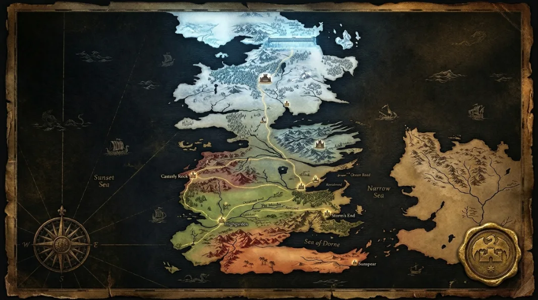
Westeros is easier to read: one long continent split into regions that match the old kingdoms. The cold North sits above the Neck, the Riverlands form the crossroads in the middle, and the rich Reach and desert Dorne fill the south.
Because so much of Westeros is connected by roads like the Kingsroad, power flows toward King’s Landing. Essos has no such centre.
How Westeros and Essos are connected
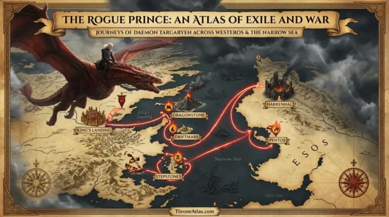
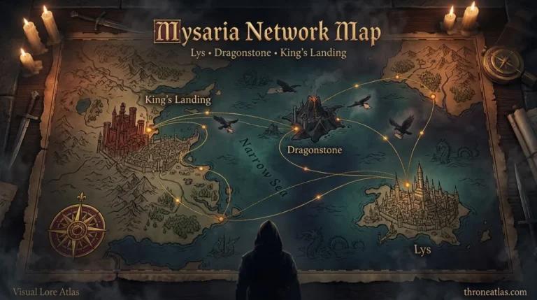
The Narrow Sea is the bridge between the two. Braavos sits across from the Vale, Pentos faces King’s Landing and Dragonstone, and the Stepstones form a broken chain of islands between Dorne and the Disputed Lands.
Many of the biggest moves in the story cross it: the Targaryens fleeing to Essos after Robert’s Rebellion, Arya sailing to Braavos, and Daenerys finally bringing her armies west. Follow that last voyage on the Daenerys journey map.
Why the dragons came from Essos
Dragons were tamed by the Valyrian Freehold in Essos. When the Doom destroyed Valyria about four hundred years before the story, the Targaryens were already on Dragonstone, which is why they were the only dragonlords left.
Aegon the Conqueror then used those dragons to take Westeros. That Essos-to-Westeros pipeline is the backbone of both Game of Thrones and House of the Dragon; see the Doom of Valyria map and Aegon’s Conquest map.
What the Difference Means for the Story
One crown vs many
Westeros wars are civil wars over a single throne. Essos conflicts are between cities, khals and old empires.
Exile and return
Essos is where Westerosi exiles go to wait: Viserys, Daenerys, Jorah, Arya. Westeros is where they come back.
Magic lives east
Warlocks, red priests, Faceless Men and dragons all come out of Essos.
Westeros vs Essos: Questions
Yes. Essos is several times larger than Westeros and extends far beyond the parts shown in the show.
The Narrow Sea, which is a few hundred miles wide at its narrowest crossings.
She was born on Dragonstone in Westeros but grew up in exile in the Free Cities of Essos.
No one rules all of Essos. It is divided between the Free Cities, the Dothraki khalasars, the cities of Slaver’s Bay and eastern powers like Qarth and Yi Ti.
Valyria was on a peninsula in southern Essos before the Doom destroyed it.
Primary Links
Best Next Step
ThroneAtlas is an independent fan-made atlas and lore reference. It is not affiliated with HBO, Warner Bros. Discovery or George R. R. Martin. Map artwork is original ThroneAtlas illustration.